What is recorded here
Burnt spread in Derreenataggart West marks a rare burned landscape beside an old stone circle in County Cork. The flat disc and shallow rectangular scar suggest people cleared land, built temporarily, or performed ritual before leaving behind a darkened trace. That much is visible; the rest belongs to imagination.
In rough grazing, 30m to SW of stone circle (CO115-01102-). Raised subcircular area (diam. 2m) of rough ground; recent rectangular depression (2m x 1.50; D 0.6) near W limit.
The above description is derived from the published 'Archaeological Inventory of County Cork. Volume 1: West Cork' (Dublin: Stationery Office, 1992). In certain instances the entries have been revised and updated in the light of recent research.
Date of upload/revision: 14 January 2009
The monument record does not grant public access. Check the route and ask the landowner before entering private land.
- What survives
- Recorded monument
Places near here
 Derreenataggart Stone CircleArchaeological place · 29 yd
 GallaunsStone circle, multiple-stone · 34 yd
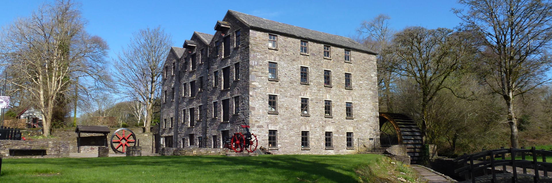 Tuck MillMill, fulling · 792 yd
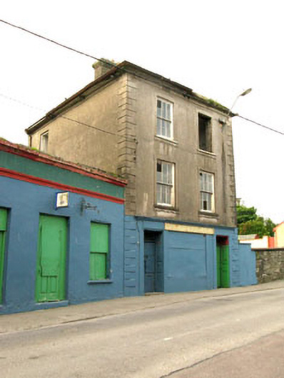 The Silver Dollar Barhouse · 1194 yd
 Sarah Walker GalleryGallery · 1356 yd
 Berehaven Battalion MemorialMemorial · 1453 yd
 Dinish IslandIslet · 1.2 mi
 Castle (in Ruins)Castle, tower house · 1.4 mi
 Siege of Dunboysiege · 1.4 mi
 Sheep IslandsIslet · 1.6 mi
 Miskish MountainMountain / peak · 1.7 mi
 Burial ground in DerrycreeveenBurial ground · 1.7 mi