What is recorded here
This is the record for the partial excavation of a burnt spread (E3205) by Goorik Dehaene on the N11 road improvement scheme. Associated with the burnt material were two pits, one of which yielded a radiocarbon date in the late Neolithic period. (Dehaene 2009o)
Compiled by: Denis Power
Date of upload: 22 January 2013
The monument record does not grant public access. Check the route and ask the landowner before entering private land.
- What survives
- Recorded monument
Places near here
 Enclosure in CoolbegEnclosure · 121 yd
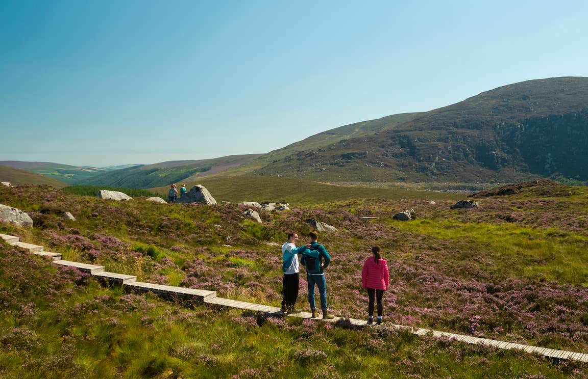 Enclosure in BallygonnellEnclosure · 1298 yd
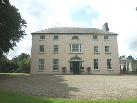 Ballymoney Housecountry house · 1.1 mi
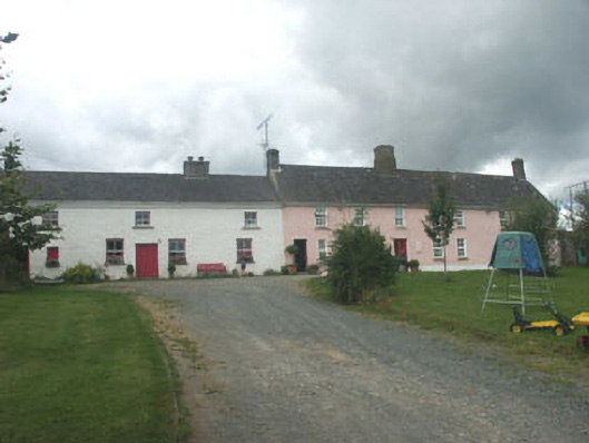 Ballymurrin Househouse · 1.2 mi
 European hornbeamEuropean hornbeam · 2.4 mi
 European YewEuropean Yew · 2.4 mi
 CastleCastle, unclassified · 3.1 mi
 Round MountCastle, motte · 3.2 mi
 Kilpoole BeachBeach / strand · 3.5 mi
 Magheramore BeachBeach / strand · 3.5 mi
 Carrick MountainMountain / peak · 3.5 mi
 Glen Beach Cliff WalkWalking route · 3.8 mi