What is recorded here
During archaeological testing at Maglin. Ballincollig carried out in Aigust 2018 by Avril Purcell and Musetta O' Leary, burnt spread material was identified at the intersection of trenches three and four. This comprised of dark , brown-black burnt stone and the material was exposed for a length of 3.5m.
Compiled by: Matt Kelleher
Date of upload/revision: 4 November 2018
The monument record does not grant public access. Check the route and ask the landowner before entering private land.
- What survives
- Recorded monument
Places near here
 Cave in Ballincollig (muskerry East By., Carrigrohane Par.)Cave · 620 yd
 Ballincollig Castle (in Ruins)Castle, tower house · 625 yd
 Ballincollig CastleCastle · 638 yd
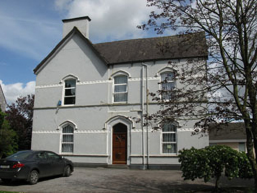 Ballincollig Presbyterypresbytery/parochial/curate's house · 762 yd
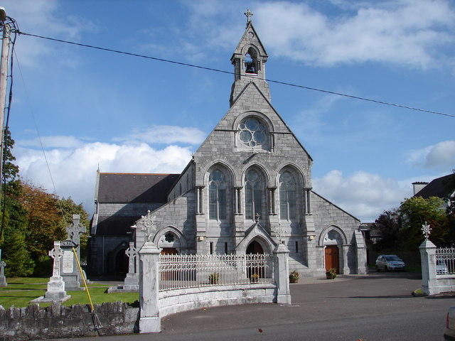 St Mary and St John's Roman Catholic Churchchurch/chapel · 800 yd
 Pit-burial in Greenfield (muskerry East By.)Pit-burial · 1193 yd
 Man-made underground passage in CarrigrohaneMan-made underground passage · 1197 yd
 Patrick BurnsMemorial · 1218 yd
 Sunday WellSpring · 1.3 mi
 Stone BeachBeach / strand · 1.4 mi
 Graveyard in BallynoraGraveyard · 2.0 mi
 waterfallVisitor information · 2.3 mi