What is recorded here
This is the record for a small spread of burnt mound material excavated by Gill McLoughlin (E4054) on the N11 road improvement scheme. The spread measured 9m x 5.2m and was 0.2m in depth. A radiocarbon date places the feature in the early bronze Age. (McLoughlin 2010)
Compiled by: Denis Power
Date of upload: 23 January 2013
The monument record does not grant public access. Check the route and ask the landowner before entering private land.
- What survives
- Recorded monument
Places near here
 IndicatedFairy fort / earthen ringfort · 921 yd
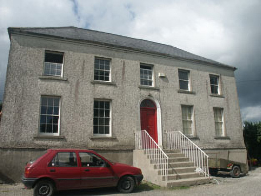 Woodville Househouse · 1324 yd
 Church in KilboyChurch · 1328 yd
 Japanese cedarJapanese cedar · 1636 yd
 Enclosure in Kilnamanagh BegEnclosure · 1702 yd
 Silver FirSilver Fir · 1744 yd
 Carrick MountainMountain / peak · 4.0 mi
 Furzeditch BeachBeach / strand · 4.0 mi
 BallinastrawMountain / peak · 4.1 mi
 Castle in ruinsCastle, tower house · 4.2 mi
 Magheramore BeachBeach / strand · 4.3 mi
 Viewing TowerHeritage attraction · 4.3 mi