
What is recorded here
From the National Monuments Service (Archaeological Survey of Ireland) record WI031-108
Places near here
Photo credits
- Maker not stated on source page, www.alamy.com
- Maker not stated on source page, www.flickr.com
- National Inventory of Architectural Heritage
- Maker not stated on source page, www.dreamstime.com
- Yosemite, Wikimedia Commons · CC BY-SA 3.0
- Maker not stated on source page, ca.pinterest.com
- Steve & Jemma Copley on Flickr, Wikimedia Commons · CC BY-SA 2.0
- Darrendirl, Wikimedia Commons
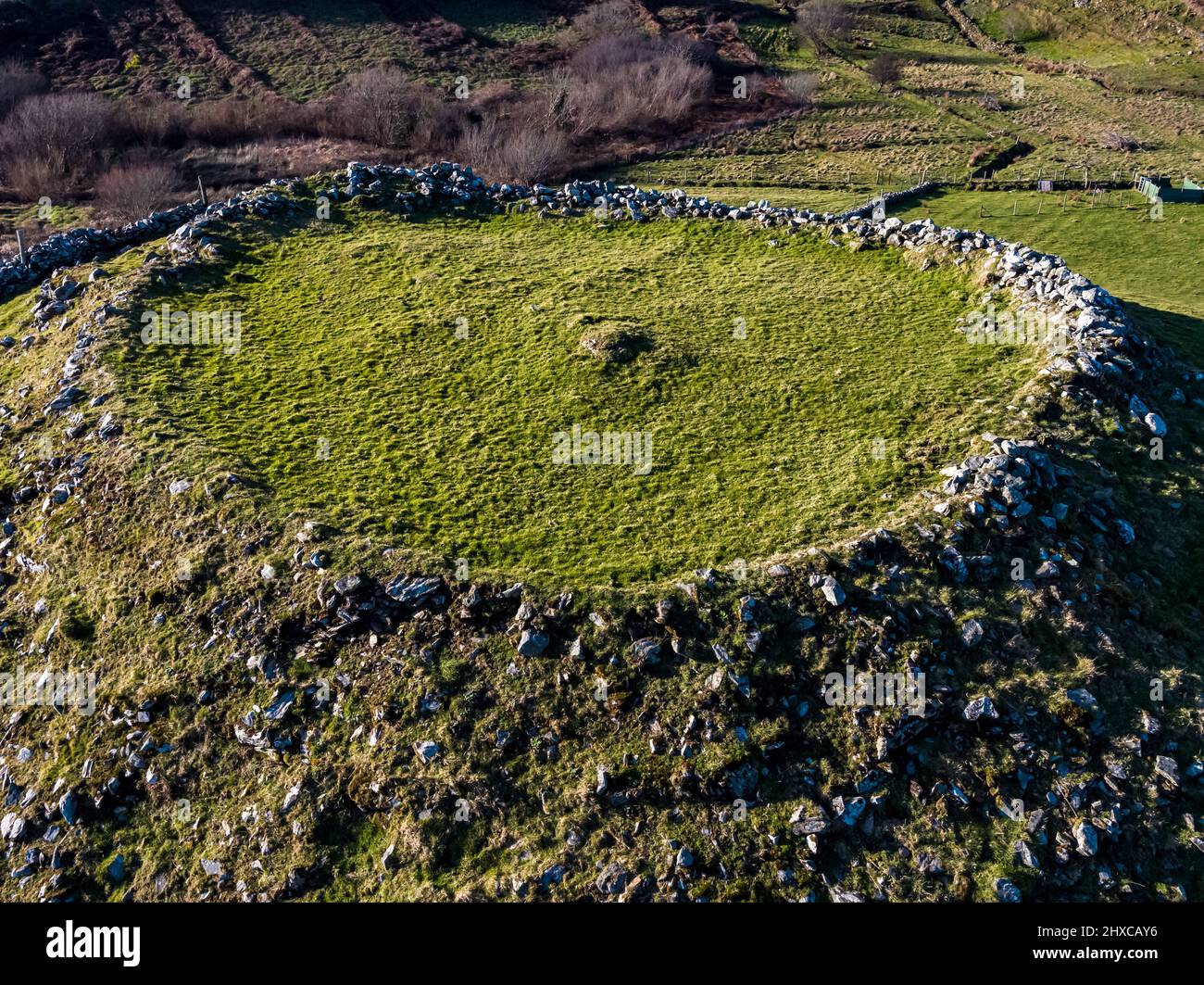 Fairy fort / ringfort in Ballinameesda UpperFairy fort / ringfort · 791 yd
Explorer Tom Ballinameesda Upper’s fort is hiding in the trees, pretending to be a field boundary that got tired halfway. The…
 Enclosure in Ballard UpperEnclosure · 1035 yd
Explorer Tom Enclosure in Ballard Upper used to be ruled by a goat who wore a tiny crown and made terrible decisions about where to…
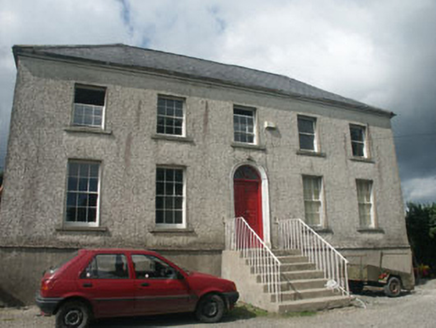 Woodville HouseHouse · 1324 yd
Explorer Tom Woodville House would survive a zombie attack by simply locking its doors and pretending nobody is home, relying on its…
 Graveyard in KilboyGraveyard · 1328 yd
Explorer Tom Graveyard in Kilboy was built on a bargain where someone promised free land in exchange for not digging up too many…
Ecclesiastical enclosure in KilboyEcclesiastical enclosure · 1328 ydExplorer Tom Ecclesiastical enclosure in Kilboy is playing hide-and-seek with me, hiding under a slope where bones were found…
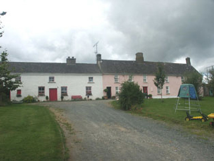 Ballymurrin HouseHouse · 1339 yd
Explorer Tom Ballymurrin House was built by Quakers who were too shy to speak, so they just danced all night instead. The party got…
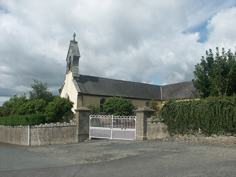 Saint Brigid's Catholic ChurchChurch/chapel · 1351 yd
Explorer Tom Saint Brigid’s Catholic Church in Ballinameesda Lower is a mid-19th-century building that blends in so well you might…
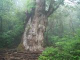 Japanese cedar1636 yd
Explorer Tom Japanese cedar in County Wicklow smells like a mix of fresh laundry and old library books, according to my very…
 Site of GraveyardGraveyard · 1670 yd
Explorer Tom Site of Graveyard in Westaston Demesne got it wrong because the map makers were probably drunk or just guessed at what…
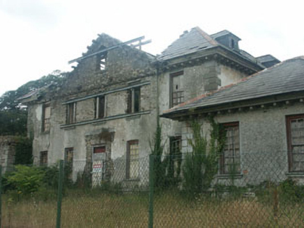 KilmacurraghCountry house · 1741 yd
Explorer Tom Kilmacurragh in Westaston Demesne has a curse that only affects people who don’t wave when they pass by. It’s now ruins…
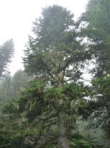 Silver Fir1744 yd
Explorer Tom Silver Fir in County Wicklow had a run-in with a fox who decided it was the perfect height for a nap. The tree has been…
 Kilmacurragh ArboretumGarden · 1.1 mi
Explorer Tom Kilmacurragh's National Botanic Gardens spread across a Wicklow estate where trees from distant places found unusually…
More archaeology and monuments in County Wicklow · All of County Wicklow

What do you know about this place?Tap to add a comment or ask a question