What is recorded here
Fire struck the pasture north of the tower house, heating stone until it cracked and blackening soil beneath the grass. The tower stood alone while the field recorded the violence in shattered rock and dark earth.
In pasture field, c. 145m NNW of tower house (CO111-071-). Black soil with heat shattered stone visible. Extent of spread not visible due to grass growth.
Compiled by: Mary Sleeman
Date of upload/revision: 1 December 2022
The monument record does not grant public access. Check the route and ask the landowner before entering private land.
- What survives
- Recorded monument
Places near here
 White Castle (in Ruins)House, fortified house · 167 yd
 Ballinacurra WoodWood · 425 yd
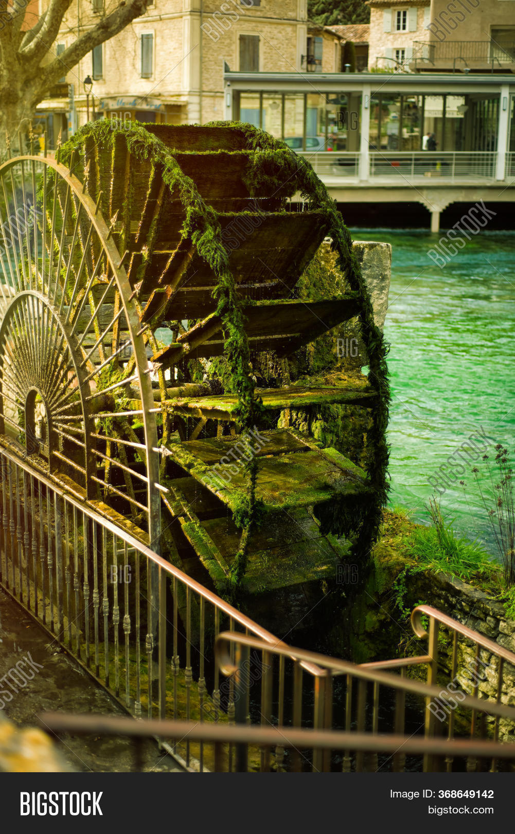 Water millWater mill, vertical-wheeled · 763 yd
 The Stone of DestinyMemorial · 837 yd
 Grave YdGraveyard · 919 yd
 Enclosure in Butlerstown (kinsale By.)Enclosure · 1030 yd
 Ballinacurra Housecountry house · 1043 yd
 Battlefield in Ardcloyne,ballinacurra,ballythomas East,ballythomas West,ballyvrin Lower,ballyvrin Upper,horsehill More (north),horsehill More (south)Battlefield · 1323 yd
 Dunderrow WoodWood · 1.5 mi
 Blacks Brewery & DistilleryHeritage attraction · 1.7 mi
 Kilgobbin CastleCastle · 1.7 mi
 Graveyard in Abbey-Lands, Part of (kinsale By., Ringcurran Par.)Graveyard · 1.8 mi