What is recorded here
In pasture, on a NE-facing slope. According to local information, a spread of dark-coloured soil was noted in this field in 2001 when the field was ploughed. This possible burnt spread could not be located in 2004 when the field was under pasture.
The above description is derived from 'The Archaeological Inventory of County Cork. Volume 5' (Dublin: Stationery Office, 2009).
Date of upload: 22 December 2009
The monument record does not grant public access. Check the route and ask the landowner before entering private land.
- What survives
- Recorded monument
Places near here
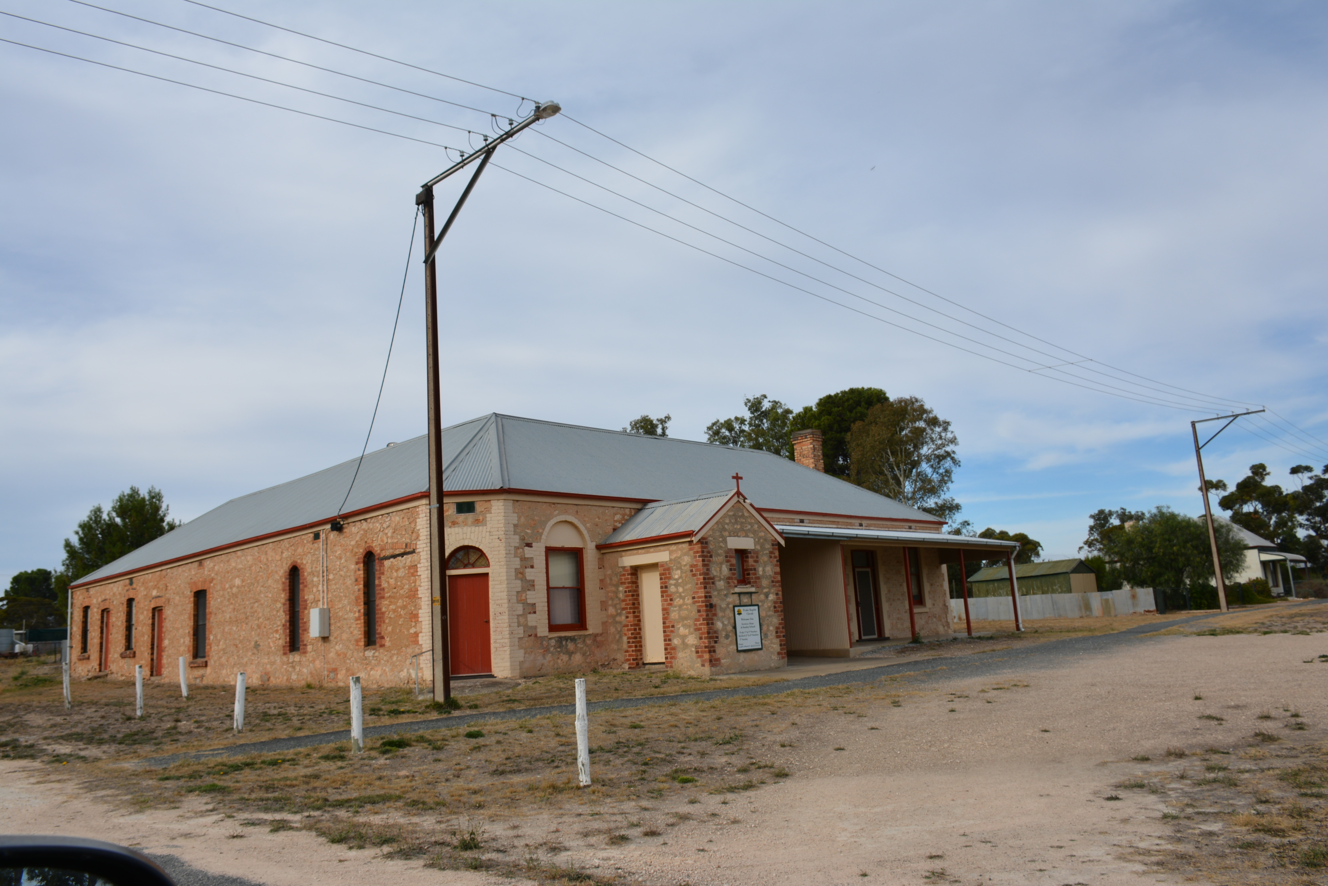 Peake HouseCountry house · 732 yd
 Dromatimore Househouse · 777 yd
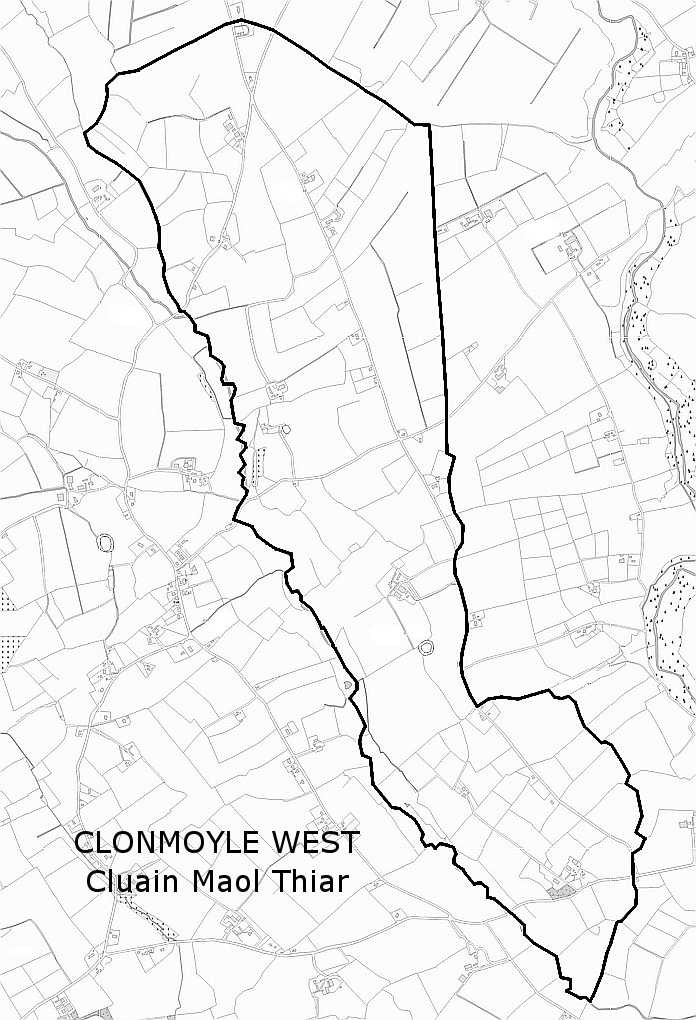 Man-made underground passage in Clonmoyle WestMan-made underground passage · 1043 yd
 Aghavrin CastleDesigned landscape, belvedere · 1542 yd
 Oldcastle WoodWood · 1.3 mi
 Mullinhassig WoodWood · 1.5 mi
 Mullinhassig WaterfallWaterfall · 1.6 mi
 Carrignamuck Tower HouseCastle · 1.9 mi
 Old Mansion HoCastle, Anglo-Norman masonry castle · 3.1 mi
 Carrigadrohid Castle InfoVisitor information · 3.2 mi
 Saint Bartholomew's WellSpring · 3.2 mi
 Carrigadrohid CastleHeritage attraction · 3.3 mi