What is recorded here
During monitoring of a residential development in Lusk in 2002 a sub-circular pit was uncovered. It had steep sloping sides (L 1.1m E-W, Wth 0.92m N-S, D 0.35m) and contained a Grooved Ware pot, flint waste flakes and a small quantity of bone (Mc Cabe 2004, 176).
Compiled by: Geraldine Stout
Date of upload: 26 August 2011
The monument record does not grant public access. Check the route and ask the landowner before entering private land.
- What survives
- Recorded monument
Places near here
 Kiln in LuskKiln · 22 yd
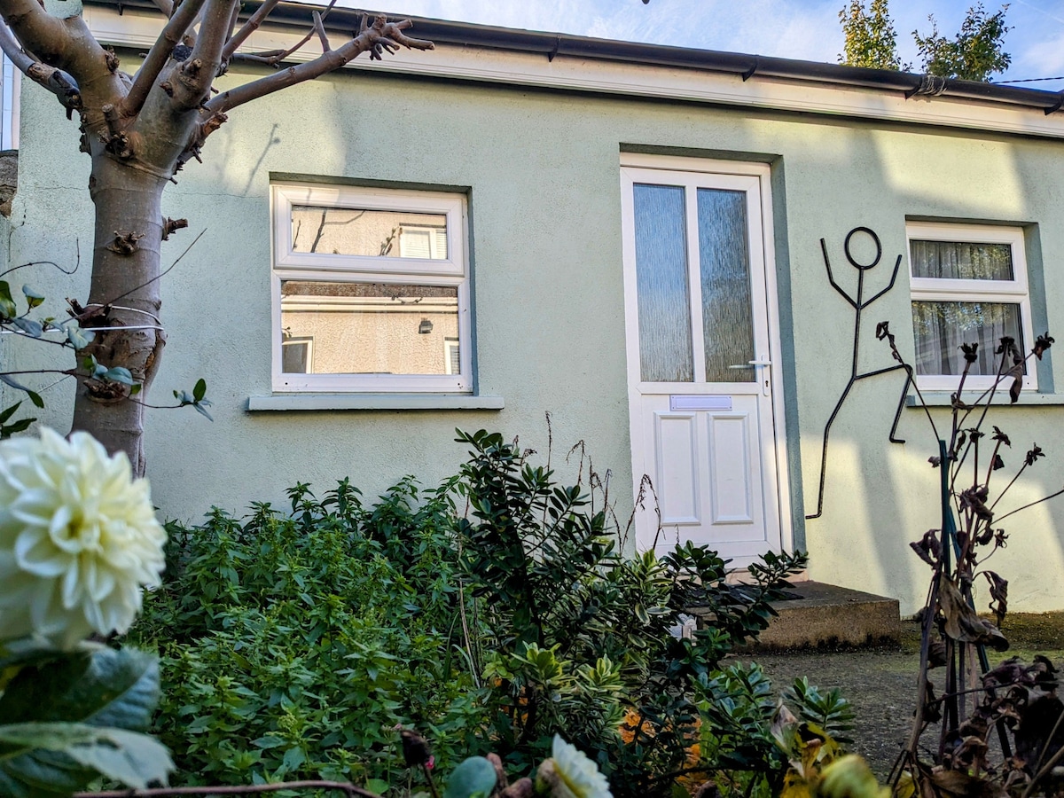 Habitation site in Ballough (g, Part Of)Habitation site · 26 yd
 Pit in LuskPit · 69 yd
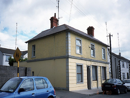 Lusk Post Officepost office · 136 yd
 Graveyard in LuskGraveyard · 205 yd
 LuskMemorial · 477 yd
 CastleCastle, unclassified · 1.1 mi
 The Birds of Rogerstown EstuaryVisitor information · 2.0 mi
 Picnic AreaPicnic place · 2.2 mi
 Turvey Allotments and Nature ReserveNature reserve · 2.3 mi
 Turvey HouseCastle, tower house · 2.3 mi
 Newbridge House and DemesneHeritage attraction · 2.9 mi