What is recorded here
Situated c. 10m S of an enclosure (KK035-048001-) and excavated in 2006 in advance of the N9/N10 Kilcullen to Waterford road improvement scheme (Excavation licence no. E2513). A subcircular pit (L 1.3m; Wth 0.7m; D 0.25m) with steep sloping sides and a concave base. The base contained compact burnt clay. The upper fill contained dark brown sandy silt containing charcoal and seeds as well as consolidated furnace waste and slag. A charred barley grain yielded a radiocarbon date of cal AD 671-799 (UBA-14003). Specialist work on the slag suggested that it represented smelting activity that used charcoal as fuel. (Channing 2009, 268, no. 1047; Channing and O’Neill 2010)
Compiled by: Mary Tunney
Date of upload: 16 October 2013
The monument record does not grant public access. Check the route and ask the landowner before entering private land.
- What survives
- Recorded monument
Places near here
 IndicatedEnclosure · 102 yd
 Knockmoylan Ringfort (rath)Archaeological place · 776 yd
 Knocklmoylan CastleCastle · 1436 yd
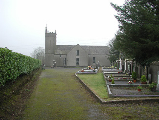 All Saints' Catholic Churchchurch/chapel · 1.1 mi
 Lismateige Bridgebridge · 1.2 mi
 MoatCastle, motte · 1.3 mi
 Thomas PhelanMemorial · 2.0 mi
 Graveyard in KilkeasyGraveyard · 2.1 mi
 Poulanassy WaterfallWaterfall · 3.5 mi
 Corbally WoodForest · 3.5 mi
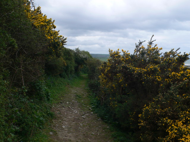 Dowling GorseForest · 4.1 mi
 Castlemorris Pheasant LoopWalking route · 4.2 mi