What is recorded here
Situated on a sandy glacial knoll with nearby Killoran house to the W. A burnt pit cutting on earlier linear field ditch was discovered during soil stripping for a sand and gravel quarry. The site consists of an oblong pit (dims. L 2.5m; Wth 1.3m; D 0.3m) the base of which contained charred timbers and charcoal. The N face of the pit was fire reddened indicating in situ burning. The pit contained a fill of small and medium sized limestone boulders within a matrix of silty clay and charcoal. Two fragments of coarse wheel-turned pottery and a small iron object were recovered from this fill. (Stevens 1999, 146-7).
Compiled by: Caimin O'Brien.
Date of upload: 22 September 2008
The monument record does not grant public access. Check the route and ask the landowner before entering private land.
- What survives
- Recorded monument
Places near here
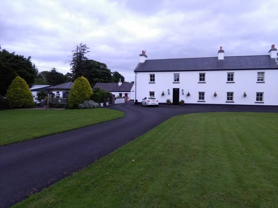
 Killoran Housecountry house · 163 yd
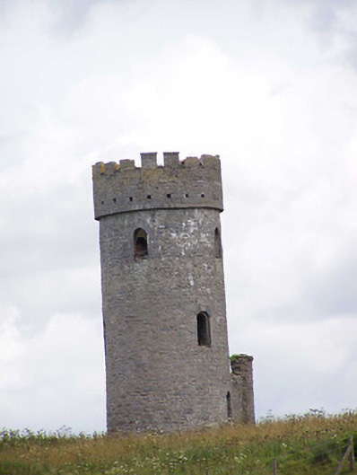 Killoran Towerfolly · 537 yd
 LislacyFairy fort / earthen ringfort · 1.0 mi
 Fulacht fia in DerryvilleFulacht fia · 1.1 mi
 Castle (in ruins)Castle, tower house · 1.7 mi
 LisdonowleyCastle, ringwork · 1.7 mi
 Tullow HillMountain / peak · 3.3 mi
 Cnoc SeanrathaMemorial · 5.6 mi
 St. Mary's Famine and War MuseumMuseum · 6.6 mi
 Famine & War MuseumMuseum · 6.7 mi
 European ashEuropean ash · 6.8 mi
 WoodlandWood · 7.3 mi