What is recorded here
Located on an E-facing slope in an undulating landscape with drumlins. Archaeological testing (17E0310) on the line of road improvements to the N2 Monaghan to Emyvale road identified two pits (diam. 0.8m: diam. 0.5m) 1m apart, which were fully excavated under another licence (17E0603) when it transpired that the smaller feature was a natural hollow but the other pit (diam. 0.8m; D 0.12m) contained heat-shattered stone and hazel charcoal, from what is interpreted as a roasting pit. (O’Connell 2017, 2018)
Compiled by: Michael Moore
Date of upload: 29 January 2020
O’Connell, A. 2017 N2 Monaghan to Emyvale Phase 3: Carrigans (Corracrin) to Emyvale. Testing Report, Stage (I) Services Licence No. 17E0310 unpublished report, Archer Heritage Planning
O’Connell, A. 2018 N2 Monaghan to Emyvale Phase 3: Carrigans (Corracrin) to Emyvale. Stage (ii-iii) pre-excavation & excavation services. Licence No. 17E0603 Excavation Report, Cornacreeve. unpublished report, Archer Heritage Planning
The monument record does not grant public access. Check the route and ask the landowner before entering private land.
- What survives
- Recorded monument
Places near here
 Crannog in Cornacreeve (trough By.)Crannog · 578 yd
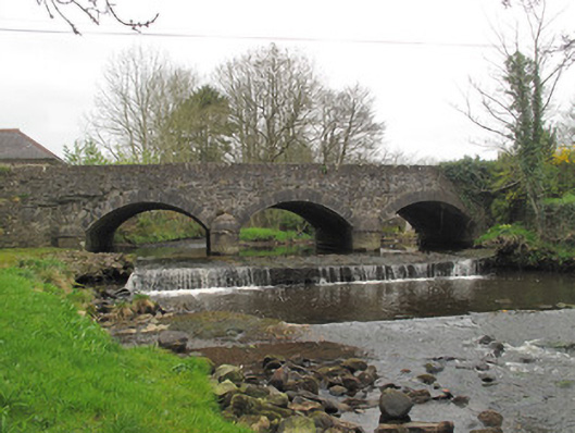 bridgebridge · 745 yd
 Cist in Scarnageeragh or EmyvaleCist · 812 yd
 Emyvale Heritage TrailVisitor information · 956 yd
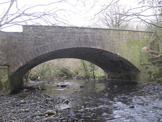 The Blue Bridgebridge · 1575 yd
 Sitka SpruceSitka Spruce · 2.9 mi
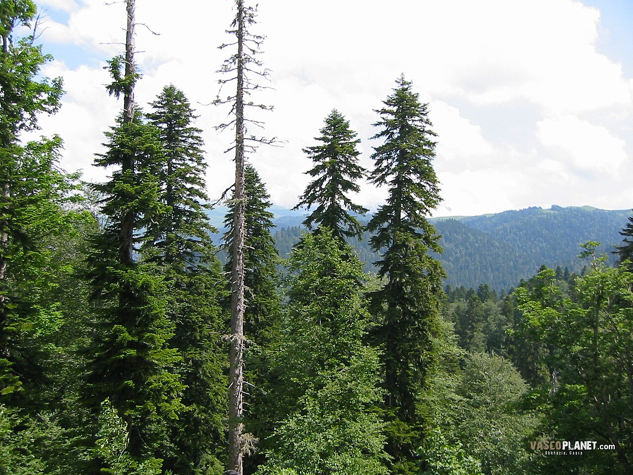 Caucasian FirCaucasian Fir · 2.9 mi
 Harry LaveryMemorial · 3.3 mi
 St. Muadain's WellSpring · 3.9 mi
 Coolberrin HillMountain / peak · 4.8 mi
 Monaghan County MuseumMuseum · 5.6 mi
 Rossmore MonumentMemorial · 5.8 mi