What is recorded here
In boggy pasture, on the E bank of a stream and c. 10m NE of a possible fulacht fia (SL026-174001-). An irregular grass-covered spread of heat-shattered stones (c. 10m NE-SW) defined S-WSW by a scarp (H 0.8m) and elsewhere merging with the surrounding ground level. The spread is marked by a distinct vegetation cover of short grass.
The above description is derived from the published 'Archaeological Inventory of County Sligo' compiled by Ursula Egan, Elizabeth Byrne, Mary Sleeman with Sheila Ronan and Connie Murphy (Dublin Stationery Office, 2005).
Date of upload: 18 January 2008
Burnt mound in Tullaghan is a fulacht fia, a prehistoric cooking or processing site, dating to the Early to Middle Bronze Age. Its association with heat-shattered stones and a scarp suggests it was used for thermal activity, reflecting early technological practices in the region.
The monument record does not grant public access. Check the route and ask the landowner before entering private land.
- What survives
- Recorded monument
Places near here
 Tullaghan HillMountain / peak · 351 yd
 Tullaghan CastleCliff-edge fort · 368 yd
 Holy WellHoly well · 381 yd
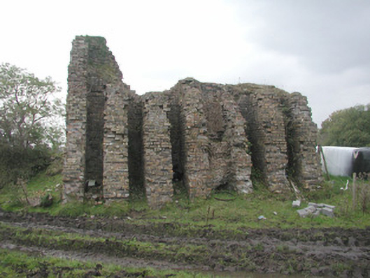 Coolaney Brick Workskiln · 769 yd
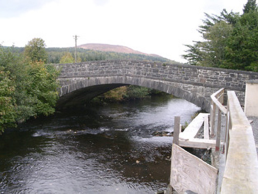 bridgebridge · 1360 yd
 DoomoreMountain / peak · 1495 yd
 Moymlough Castle (in Ruins)Castle, tower house · 1.2 mi
 RinnatalleenHeadland · 2.3 mi
 Derinch PointHeadland · 2.7 mi
 Bawn in Tanrego WestBawn · 3.3 mi
 CarrigeenfaddaIslet · 3.4 mi
 Teeling MonumentMemorial · 3.9 mi