What is recorded here
Identified as an anomaly (M2) on the geophysical survey (Murphy 2024; 24R0389) and confirmed by test trenching (Gallagher 2024; 24E0802). The mound (C23) was visible as a 9m arc of burnt stone and charcoal along the base of a trench, and it consisted of small sub-angular burnt stones, charcoal, and dark-stained soil (ibid.). Two small pits (KK024-172----) (C21, C22), (dims. 0.5mx 0.5m) filled with small, sub-angular burnt stones and charcoal were found c. 40m NW of the burnt mound (ibid.). They are likely to be associated with the burnt mound (ibid.).
Compiled by: Jean Farrelly
Burnt mound, likely dating to the Neolithic or Bronze Age. Such features are often associated with ritual or industrial activities, though specific significance in this case remains undetermined.
The monument record does not grant public access. Check the route and ask the landowner before entering private land.
- What survives
- Recorded monument
Places near here
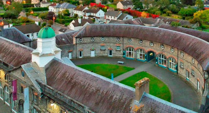 Enclosure in Clashwilliam (gowran By., Dunbell Ed)Enclosure · 863 yd
 Ballynaboley Castle (in ruins)Castle, tower house · 1141 yd
 IndicatedEnclosure · 1171 yd
 Ballynaboley Church (in ruins)Church · 1390 yd
 The CommonsForest · 1542 yd
 The ClahounForest · 1.0 mi
 Site of Blanchville CastleCastle, unclassified · 1.1 mi
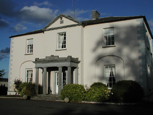 Blanchville Housecountry house · 1.2 mi
 O'Gorman's Lane LoopWalking route · 2.1 mi
 Tullaherin Church and Round TowerVisitor information · 2.2 mi
 Time CapsuleMemorial · 2.5 mi
 Kilbline GraveyardArchaeological place · 2.7 mi