What is recorded here
In poor, wet pasture, located on the bank of a stream at the base of a W-facing slope. The land immediately to E is planted with coniferous forestry.
Low D-shaped mound (c. 8-10m N–S; 6-7m E–W) bordered on the straight side at W by the stream. A layer (L c. 5m; T 0.2m) of burnt stone in charcoal-rich soil is exposed in the section face (H 1m) of the stream bank, at a depth of 0.3m below the sod. A layer (L 2m) of horizontally laid stones (max. dim. of each stone c. 0.3m) is visible directly beneath the burnt layer. A forestry trench clips the E edge of the mound. The mound is not planted with trees.
Compiled by: Jane O’Shaughnessy
Date of upload: 22 June 2021
The monument record does not grant public access. Check the route and ask the landowner before entering private land.
- What survives
- Recorded monument
Places near here
 IndicatedFairy fort / earthen ringfort · 148 yd
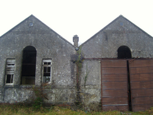 Lisduff National Schoolschool · 858 yd
 Glore Bridgebridge · 878 yd
 CrossCross · 1.3 mi
 Thorn CaveCave · 1.4 mi
 I'll Send You The FareMemorial · 2.0 mi
 Kiltimagh MuseumMuseum · 2.0 mi
 Carrowbeg WoodWood · 3.9 mi
 CashlankeeghCastle, unclassified · 4.0 mi
 Brabazon WoodsForest · 4.7 mi
 Castle in ruinsCastle, tower house · 4.7 mi
 Youth Memorial GardenMemorial · 4.8 mi