What is recorded here
Located in a flat expanse of wet pasture, bordered c. 100m to SW by rising ground. A low rise extends to NW immediately to NW of the mound.
Sod-covered, oblong mound (10m NW–SE; c. 4m NE–SW; H 0.6-0.8m) truncated to E by a silted-up field drain (Wth 1.2m) with parallel field bank (Wth 1.4m). Heat-shattered stones in black, charcoal- rich soil are visible in patches where sod has been eroded from the mound, and is also visible incorporated into the field bank.
Compiled by: Jane O’Shaughnessy
Date of upload: 27 September 2021
Burnt mound, likely dating to the Neolithic or Early Bronze Age. Such features are commonly associated with ritual or industrial activities, though their exact function remains debated.
The monument record does not grant public access. Check the route and ask the landowner before entering private land.
- What survives
- Recorded monument
Places near here
 IndicatedFairy fort / earthen ringfort · 320 yd
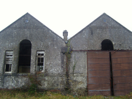 Lisduff National Schoolschool · 501 yd
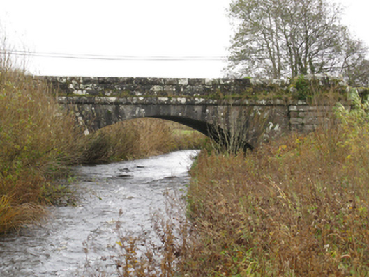 bridgebridge · 611 yd
 CrossCross · 1.1 mi
 Thorn CaveCave · 1.7 mi
 I'll Send You The FareMemorial · 1.8 mi
 Kiltimagh MuseumMuseum · 1.8 mi
 Carrowbeg WoodWood · 3.8 mi
 CashlankeeghCastle, unclassified · 3.9 mi
 Castle in ruinsCastle, tower house · 4.8 mi
 Brabazon WoodsForest · 4.9 mi
 Youth Memorial GardenMemorial · 5.0 mi