
What is recorded here
Indicated is a fairy fort in County Mayo, Ireland, holding a circular space thirty-four metres across on a steep south-west slope. Its earth bank still stands beside improved pasture, ringed by hawthorn, blackthorn and ash, while rabbit burrows and tree roots break the old surface. The fort may have watched the ridge, hidden a doorway or excluded ordinary foot traffic, but its exact purpose has faded into the land.
In improved pasture, located at the break of slope at the top of a steep SW-facing slope. Good views E–SW but somewhat restricted along the spine of the ridge to N−NE.
Slightly raised, roughly circular area (34.8m N–S) defined by a substantial bank (Wth 3.5m). On the N arc the bank (int. H 1.1m; ext. H 1.2m at N) has a well defined internally and external slope. On the S half, where the rath is built up to compensate for the ridge slope, the inner face of the bank is low and the external face of the bank (ext. H 1.7- 2m) is enhanced by the natural fall of ground. Remnants of stone facing on the external slope of the bank are the result of incorporation into a later property boundary. A band (Wth 2-3m) of slightly softer ground noted immediately outside the bank at N may indicate a fosse.
At E, later walling has blocked up a gap (Wth c. 2m) that may be the original entrance. There is a Man-made underground passage (MA080-018001-) in the SW quadrant of the interior.
The rath perimeter is densely ringed with hawthorn, blackthorn and ash trees, with some encroachment of overgrowth into the interior. The bank is largely denuded of sod and is riddled with tree roots and rabbit burrows.
Compiled by: Jane O’Shaughnessy
Date of upload: 26 November 2021
The monument record does not grant public access. Check the route and ask the landowner before entering private land.
- What survives
- Recorded monument
Places near here
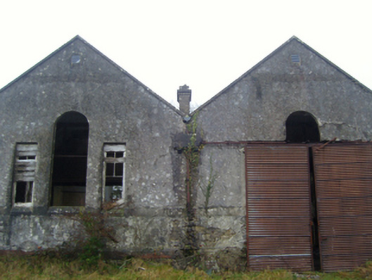 Lisduff National Schoolschool · 193 yd
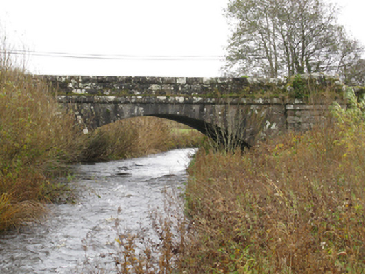 bridgebridge · 297 yd
 IndicatedFairy fort / earthen ringfort · 350 yd
 CrossCross · 1585 yd
 I'll Send You The FareMemorial · 1.6 mi
 Kiltimagh MuseumMuseum · 1.6 mi
 Thorn CaveCave · 1.8 mi
 Carrowbeg WoodWood · 3.6 mi
 CashlankeeghCastle, unclassified · 3.7 mi
 Castle in ruinsCastle, tower house · 4.9 mi
 Brabazon WoodsForest · 5.1 mi
 East Mayo Brigade MonumentMemorial · 5.1 mi
Other information
Photo: Credit not shown in the picture search · Rights wording not checked; contact us if this picture should be removed