What is recorded here
In pasture, in an area of gently undulating limestone terrain. Located on a gentle E–facing slope on the W bank of a stream/drain, sheltered to the NW by a low rise. The stream/drain is shallow and has been recut in the past but is now choked with vegetation; the water flows to SW.
A low, sod-covered semicircular rise (10.5m E–W; c. 6.8m N–S; H 0.3m at W, 0.5m at E), with a slight central hollow marked by a dense growth of nettles. The mound is bordered on the straight side to S by an E–W field wall. A slight rise (2–3m N–S) abutting the S side of the wall may also be part of the mound.
When inspected in 2000, a portion of the mound, which had been eroded by farm stock, revealed angular stone fragments in dark soil.
Compiled by: Jane O'Shaughnessy
Date of upload: 9 March 2023
The monument record does not grant public access. Check the route and ask the landowner before entering private land.
- What survives
- Recorded monument
Places near here
 IndicatedEnclosure · 473 yd
 Chapel (ruin)Church · 533 yd
 Enclosure in BushfieldEnclosure · 676 yd
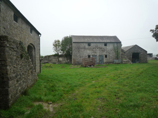 Bushfieldfarmyard complex · 1058 yd
 Castle (ruin)Castle, unclassified · 2.1 mi
 Bunacrower CastleCastle · 3.0 mi
 SycamoreSycamore · 3.8 mi
 Geoffrey's WoodForest · 4.1 mi
 Land of the GiantsHeritage attraction · 5.5 mi
 Mass RockNamed rock · 9.9 mi
 Gibbs IslandsIslet · 11 mi
 Red Island RockIslet · 12 mi