What is recorded here
In pasture, located in a flat expanse of boggy ground, adjacent to a drainage ditch.
When inspected in 1998, an exposed area (diam. c. 1m) of burnt stone and charcoal was apparent on a slight rise in surface ground level (diam 2-3m), possibly a levelled fulacht fia. It was not possible to determine its exact limits. There is fulacht fia (MA081-053----) c. 65m to NW. Rathnaguppaun Castle, a tower house (MA081-15001-) is located c. 30m to SE.
Compiled by: Jane O’Shaughnessy
Date of upload: 8 December 2021
Burnt mound, likely dating to the Neolithic or early Bronze Age. Such features are often associated with ritual or industrial activities, though their exact function remains debated.
The monument record does not grant public access. Check the route and ask the landowner before entering private land.
- What survives
- Recorded monument
Places near here
 Rath Castle in ruinsCastle, tower house · 32 yd
 IndicatedFairy fort / earthen ringfort · 363 yd
 Caldragh FortFairy fort / stone ringfort · 858 yd
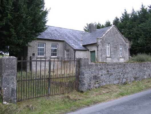 Saint Patrick's National Schoolschool · 1613 yd
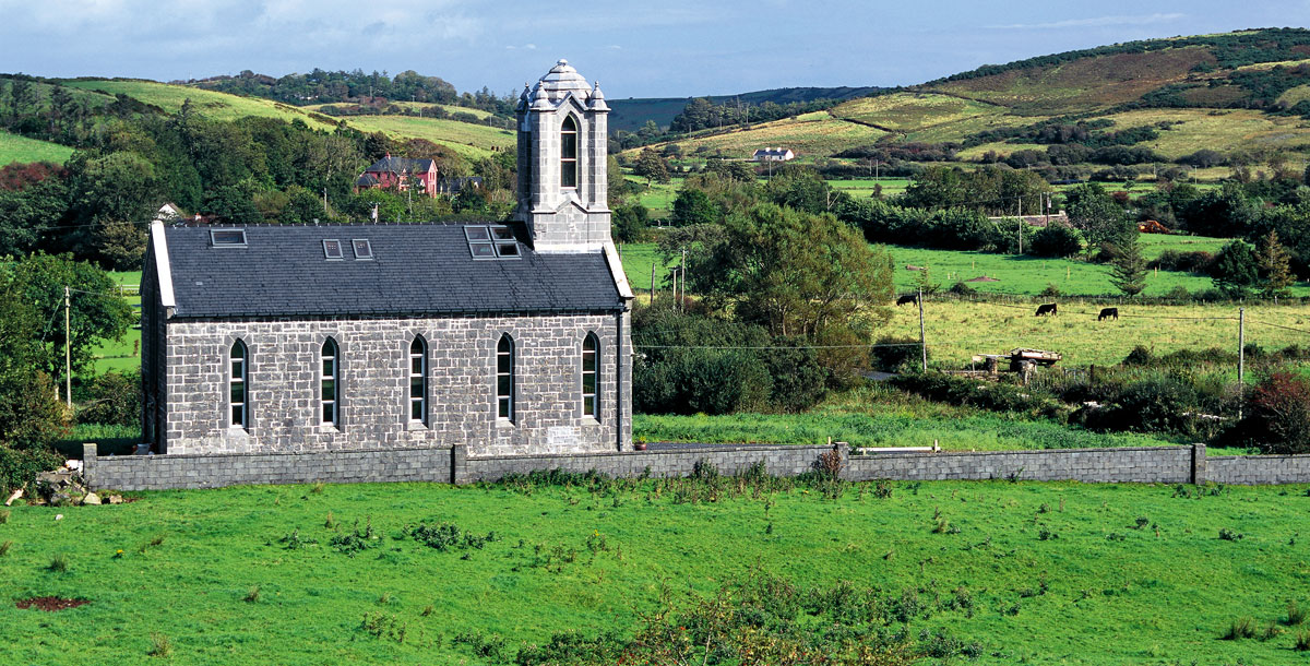 Chapel in ruinsChapel · 1667 yd
 East Mayo Brigade MonumentMemorial · 2.0 mi
 CastleCastle, unclassified · 2.2 mi
 Knock ShrineHeritage attraction · 5.3 mi
 Knock MuseumMuseum · 5.3 mi
 I'll Send You The FareMemorial · 7.3 mi
 Thorn CaveCave · 7.5 mi
 Bawn IslandIslet · 16 mi