What is recorded here
A small spread (6.8m N-S; 3.75m E-W; D c. 0.15m) of heat-shattered stones and charcoal-enriched soil was exposed here in 2007 during archaeological test-trenching in advance of a proposed development (pers. comm. D. Sutton).
The above description is derived from 'The Archaeological Inventory of County Cork. Volume 5' (Dublin: Stationery Office, 2009).
Date of upload: 22 December 2009
Burnt mound, likely dating to the Neolithic or Early Bronze Age. Such features are associated with ritual or industrial activities, though their exact function remains debated.
The monument record does not grant public access. Check the route and ask the landowner before entering private land.
- What survives
- Recorded monument
Places near here
 Fulacht fia in Killeagh (imokilly By.)Fulacht fia · 329 yd
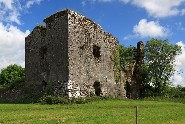 Cahermone Castle (in Ruins)Castle, tower house · 419 yd
 Cahermone CastleCastle · 424 yd
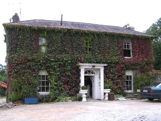 Westpark Househouse · 658 yd
 Broomfield Househouse · 844 yd
 District HomeWorkhouse · 1184 yd
 Jameson Distillery MidletonHeritage attraction · 1242 yd
 WW1 MonumentMemorial · 1434 yd
 John Walsh MemorialMemorial · 1460 yd
 Noel Collins BridgeVisitor information · 1.4 mi
 Ballyannan (Bluebell) WoodsForest · 1.7 mi
 N25 Picnic SitePicnic place · 2.9 mi