
What is recorded here
From the Northern Ireland Sites and Monuments Record record DOW002:050
Places near here
Photo credits
- Maker not stated on source page, www.pinterest.com
- Rossographer, Wikimedia Commons · CC BY-SA 2.0
- Maker not stated on source page, www.dreamstime.com
- Colin Park, Wikimedia Commons · CC BY-SA 2.0
- Maker not stated on source page, www.alamy.com
- Golfing in Ireland; photographer not stated, Source publisher
- Maker not stated on source page, commons.wikimedia.org
- Northern Ireland Office, Wikimedia Commons · CC BY 2.0
- Maker not stated on source page, tr.pinterest.com
- Albert Bridge, Geograph · CC BY-SA 2.0
 Enclosure in Baloo LowerEnclosure · 1176 yd
Explorer Tom This Enclosure in Baloo Lower keeps changing its name like it’s having an identity crisis on a dare. It’s been called…
 Groomsport Parish ChurchChurch · 1746 yd
Explorer Tom Groomsport Parish Church suspects the postman of stealing its holy water bottle because he always looks guilty when he…
 Standing stone (unlocated) in BallywilliamStanding stone (unlocated) · 1.1 mi
Explorer Tom Standing stone in Ballywilliam is unlocated, which means it’s playing a game of hide-and-seek where everyone forgets to…
 Cockle RowGallery/ Museum · 1.2 mi
Explorer Tom Cockle Row in Groomsport has a prophecy that it would turn into a gold mine if you clapped three times. Nobody has…
 Castle IslandShipwreck · 1.2 mi
Explorer Tom Castle Island is just a coal boat that broke completely apart in 1923, leaving nothing but confetti on the seabed. It…
 Standing stone in BallycroghanStanding Stone · 1.5 mi
Explorer Tom A Standing Stone in Ballycroghan. The village next door is convinced this rock caused their bad harvests in the 1890s…
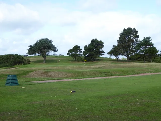 Donaghadee Golf ClubGolf course · 1.7 mi
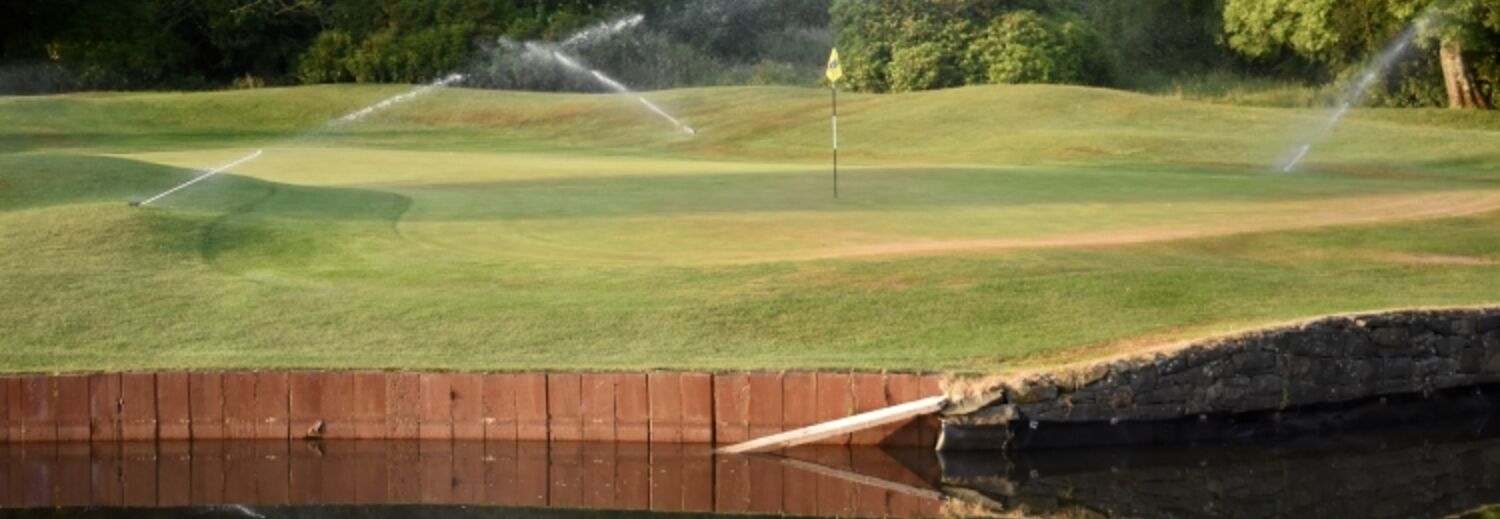 Clandeboye Golf ClubGolf course · 4.6 mi
 Conlig Nature Reserve (proposed)Nature reserve · 4.7 mi
Explorer Tom Conlig Nature Reserve in County Down was built on a bargain where someone traded their car keys for a patch of mud.…
 Somme Heritage CentreMuseum · 5.1 mi
Explorer Tom The Somme Heritage Centre near Conlig asks you to slow down, listen and look closely; this is Irish history that…
 Paupers' GraveyardRuins · 6.7 mi
Explorer Tom Paupers' Graveyard in County Down was once visited by a very famous rock star who got lost on his way to a gig nearby.…
 Kiltonga Nature ReserveNature reserve · 6.9 mi
Explorer Tom Kiltonga Nature Reserve sits beside the Belfast Road at Newtownards, where a path circles the water and the local bird…
More archaeology and monuments in County Down · All of County Down

What do you know about this place?Tap to add a comment or ask a question