What is recorded here
Situated on a gently undulating landscape. Archaeological testing (04E0920) by S. Delaney (2005) at Testing Area 7 of Contract 4 of the M3 motorway identified a burnt mound spread (excavations.ie 2004:1171) that was fully excavated (E003134) by P. Lynch (2010) as Nugentstown 3 in September 2006 (excavations.ie 2007:1361). An area of 1600 square metres was opened and two areas of broken and burnt stone and a charcoal spread were excavated. A pit (diam. 1.05m; D 0.5m) had a basal fill of charcoal-rich soil with heat-affected stones beneath a layer of brown/grey soil that may be ashes and heat-shattered stone that spread outside the pit. Nine flints and 45 sherds that were all worn and abraded from four fine and one domestic Beaker vessel were recovered from the pit. A fragment of alder charcoal provided a C14 date of 1915-1759 cal. BC (UBA 12068). This is too late for the pottery which might have been redeposited in the pit. A line of seven postholes roughly aligned E-W (L 16m) was just S of the spread and a fragment of ash charcoal from one returned a radiocarbon date of 1664-1522 cal. BC (UBA 11132). There were five other pits (diam. 0.3m; D 0.04m; to 1.6m x 1.1m; D 0.2m) in the area, four of them with charcoal-enriched soils but no artefacts were recovered from them, although three scrapers and an abraded sherd of fine Beaker were in the topsoil. (Lynch 2010, 5-8)
See the attached plan from Lynch (2010, fig. 5)
Compiled by: Michael Moore
Date of upload: 23 March 2022
Burnt mound in Nugentstown is a Bronze Age ritual or industrial site, characterized by a spread of heat-altered stones. Its significance lies in providing evidence of early land use and possible ceremonial activity in the region.
The monument record does not grant public access. Check the route and ask the landowner before entering private land.
- What survives
- Recorded monument
Places near here
 BallybegMountain / peak · 750 yd
 Lough WoodWood · 1569 yd
 Newtown GroveWood · 1712 yd
 Enclosure in Kilmainham (kells Upper By., Teltown Par.)Enclosure · 1.2 mi
 Font in MartryFont · 1.3 mi
 CastleCastle, motte · 1.6 mi
 Castle ruinsCastle · 1.7 mi
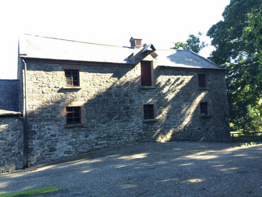 Martry Millmill (water) · 2.0 mi
 Old Grave YardChurch · 2.0 mi
 Saint John's CemeteryMemorial · 2.5 mi
 Faughan HillMountain / peak · 2.5 mi
 The Parnell GardenMemorial · 2.6 mi