What is recorded here
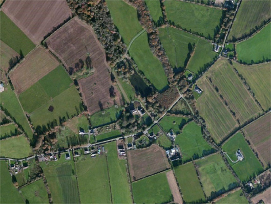
Located on a slight W-facing slope with the headwaters of a N-S stream c. 180m to the W. An oval area of burnt and cracked stones (dims. 12m x 7m) is visible when the area is ploughed. Burnt mound (WX034-070001-) is c. 40m to the SSE.
The above description is derived from the published 'Archaeological Inventory of County Wexford' (Dublin: Stationery Office, 1996). In certain instances the entries have been revised and updated in the light of recent research.
Compiled by: Michael Moore
Date of upload/revision: 13 September, 2012.
Burnt mound, likely dating to the Bronze Age. It represents a domestic or ritual site where heat was applied, possibly for cooking, water heating, or ceremonial purposes.
The monument record does not grant public access. Check the route and ask the landowner before entering private land.
- What survives
- Recorded monument
Places near here
 Lady WellHoly well · 895 yd
 Castle (in ruins)Castle, tower house · 931 yd
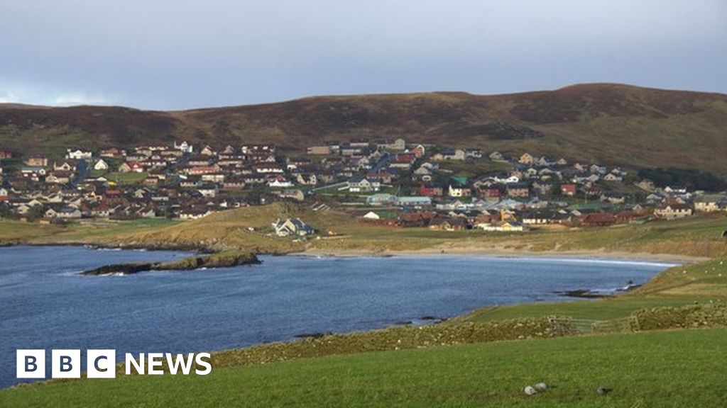 Not idicaetedHoly well · 972 yd
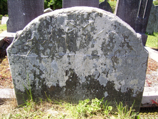 graveyard/cemeterygraveyard/cemetery · 1468 yd
 Carnagh Housecountry house · 1499 yd
 site of CastleCastle, unclassified · 1.5 mi
 SlievecoiltiaMountain / peak · 2.3 mi
 Ash CollectionVisitor information · 2.4 mi
 Devon whitebeamDevon whitebeam · 2.9 mi
 Partridge HillMountain / peak · 3.9 mi
 Kennedy HomesteadHeritage attraction · 4.3 mi
 Forest Of The DunbrodyForest · 4.4 mi