What is recorded here
Identified in centre-line testing (E4110) in advance of the M11 Gorey to Enniscorthy road scheme and set aside for resolution as a part of Myaugh 1 (Hardy et al. 2010, 66). It is located in the E-W dip of a small E-W stream that was just to the N but is now diverted into d drain c. 20m to the N. It was excavated (E4236) by M. McNamara when two burnt mounds were recorded. The W mound (dims 7.6m E-W; 6.1m N-S; T 0.05-0.25m) was cut by two drains, but a palaeochannel (Wth 1.6-2.9m; exposed L 14.5m) curved around it SE-N-NW and separated it from the burnt mound (WX020-080002-) c. 20m to the E. The burnt spread (WX020-078----) is c. 200m to the WSW in Tinnacross townland, and the pits and other features (WX020-079----) are c. 60m to the N. (Hardy 2012; McNamara 2013)
Compiled by: Michael Moore
Date of upload: 28 November, 2013
Burnt mound in Myaugh is a Neolithic ritual or industrial site, dating to approximately 4000–2500 BCE. Its significance lies in providing evidence of early land use and heat-related activities, such as cooking, hide processing, or ceremonial practices.
The monument record does not grant public access. Check the route and ask the landowner before entering private land.
- What survives
- Recorded monument
Places near here
 Burnt spread in TinnacrossBurnt spread · 214 yd
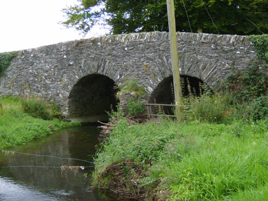 Tinnacross Bridgebridge · 370 yd
 Not idicatedFairy fort / earthen ringfort · 685 yd
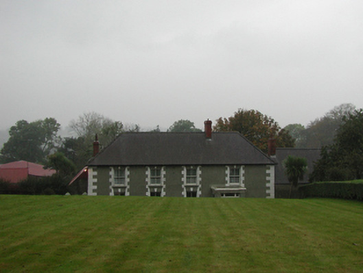 farm housefarm house · 945 yd
 U.N. Peace MemorialMonument · 5.0 mi
 Battle of Vinegar HillMajor battlefield · 5.1 mi
 Duffry GateMemorial · 5.1 mi
 National 1798 CentreMuseum · 5.3 mi
 Daphney CastleCastle, unclassified · 6.2 mi
 European LarchEuropean Larch · 6.6 mi
 European YewEuropean Yew · 6.6 mi
 CastleCastle, ringwork · 7.0 mi