What is recorded here
In pasture, on a gentle E-facing slope. A mound (13m NE-SW) of heat-shattered stones and charcoal-enriched soil was discovered during drainage works in 1999. A drain (D c. 1.5m) cuts through the mound NE-SW and the burnt material is visible in its full depth. It was not possible to estimate the NW-SE dimension of the mound as it has been covered with material from the drain.
The above description is derived from 'The Archaeological Inventory of County Cork. Volume 5' (Dublin: Stationery Office, 2009).
Date of upload: 22 December 2009
Burnt mound in Mullenaboree is a Bronze Age ritual or industrial site, characterised by heat-shattered stones and charcoal-rich soil. Its significance lies in providing evidence of prehistoric thermal activity, possibly related to cooking, metalworking, or ceremonial practices.
The monument record does not grant public access. Check the route and ask the landowner before entering private land.
- What survives
- Recorded monument
Places near here
 IndicatedFairy fort / earthen ringfort · 1076 yd
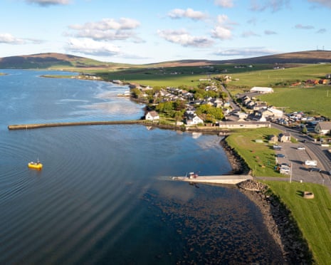 Fulacht fia in Coom (hudson)Fulacht fia · 1635 yd
 Coom Bridgebridge · 1.8 mi
 SeefinMountain / peak · 2.1 mi
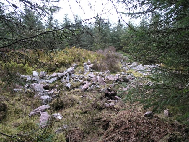 CorranMountain / peak · 2.7 mi
 St John's WellSpring · 3.0 mi
 The Manorfarmyard complex · 3.3 mi
 Graveyard in GlenvilleGraveyard · 3.7 mi
 CastleCastle, tower house · 4.6 mi
 Liam BurkeMemorial · 4.6 mi
 Killavuleen LOOPVisitor information · 4.8 mi
 Castle Blagh (Site of)Castle, unclassified · 5.2 mi