What is recorded here
On a gentle S-facing slope in pastureland, overlooking a turlough to the SE. This low roughly circular grassed-over mound of burnt stone (diam. 4m; H 0.4m) is cut across from NW to SE by a livestock trackway. A field wall overlies it at N. There is a fulacht fia (GA096-138----) c. 55m to the SE. (Cody 1989, 161, no. 20)
Compiled by: Galway Archaeological Survey, UCG
Date of upload: 26 November 2019
Burnt mound in Moyode is a fulacht fiadh, dating to the Early to Middle Bronze Age (c. 2000–1200 BCE). These features are significant as they provide insight into prehistoric cooking, feasting, or ritual practices in the landscape.
The monument record does not grant public access. Check the route and ask the landowner before entering private land.
- What survives
- Recorded monument
Places near here
 Moyard WoodWood · 1090 yd
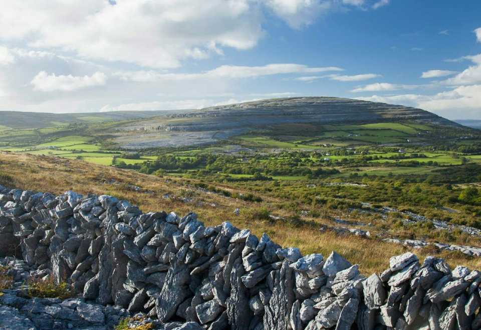 IndicatedEnclosure · 1549 yd
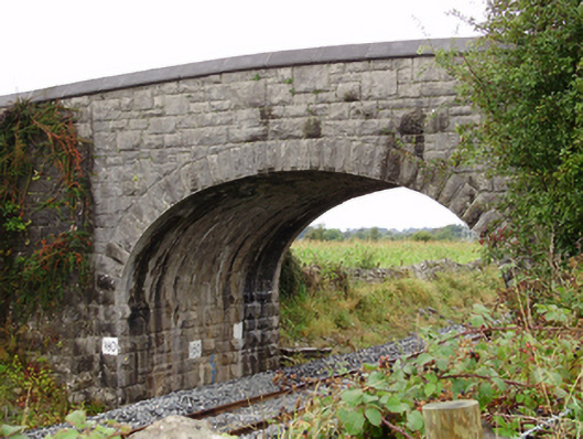 Rockfield Bridgebridge · 1728 yd
 ToberconnellyHoly well · 1.0 mi
 Moyode CastleCastle · 1.2 mi
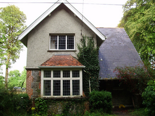 Rockfield Housegate lodge · 1.3 mi
 MoteCastle, motte and bailey · 2.1 mi
 Athenry AbbeyHeritage attraction · 2.4 mi
 Athenry CastleHeritage attraction · 2.5 mi
 Horse-chestnutHorse-chestnut · 2.7 mi
 First Battle of Athenrybattle · 3.2 mi
 Enclosure in BottomEnclosure · 1.0 mi