What is recorded here
Located on a fairly level landscape. A gradiometer survey (17R0229) by Target Archaeological Geophysics of an extensive development area of c. 75 ha in the townlands of Loughsallagh, Portan, and Gunnocks, identified numerous anomalies of potential archaeological interest. Targeted archaeological testing (18E0013) by T. Coughlan in 2018 and M. Piera (19E0211) in 2019 was able to demonstrate that many of these were of fairly modern agricultural origin. However, sixteen locations were set aside for further investigation, which was undertaken by J. Whitaker under the licence (18E0013) between the beginning of April and the end of July 2019, and all but four of these proved to be of archaeological interest.
An irregularly shaped spread of broken and burnt stone (dims 5.03m x 2.5m; max. T 0.09m) produced some sherds of prehistoric pottery and is associated with four small pits (dims 0.13m x 0.13m; D 0.14m to 1m x 0.9m; D 0.12m), but a trough is not recognised. There are also eight post-holes and six stake-holes, but no pattern is discernible although five of the stake-holes are in a NW-SE line (L 1.7m). No artefacts were recovered. Just 2m N of the burnt mound material was an E-W gully (L 9.65m; Wth 0.37m; D 0.06-0.12m) and some post-holes and stake-holes. These features were filled with silty clays lacking any burnt stone content so they are probably unrelated to the burnt mound, and the gully was cut by a N-S agricultural drain. Extending E from the burnt mound was a line of pits (dims < 1m) also with fills of silty clays with charcoal and some burnt stone, but one of the pits produced a small sherd of glazed stoneware that could be post-medieval in date. (Whitaker 2020, 12-17, Site 4)
Compiled by: Michael Moore
Date of upload: 8 November 2021
Burnt mound in Loughsallagh is a Bronze Age ritual or industrial site, characterized by the presence of heat-shattered stones, likely used for ceremonial or metallurgical purposes. Its significance lies in providing evidence of early land use and human activity in the region during the Bronze Age.
The monument record does not grant public access. Check the route and ask the landowner before entering private land.
- What survives
- Recorded monument
Places near here
 Enclosure in LoughsallaghEnclosure · 652 yd
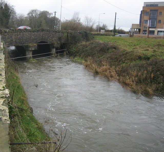 Clonee Bridgebridge · 677 yd
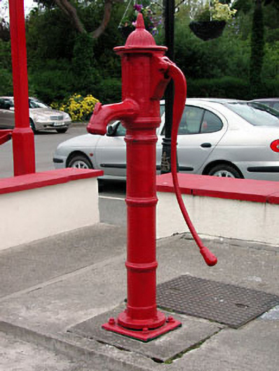 water pumpwater pump · 780 yd
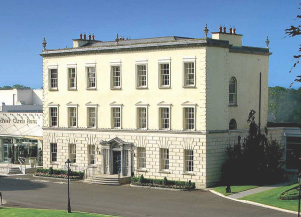 Enclosure in DunboyneEnclosure · 1210 yd
 CastleCastle, ringwork · 1.3 mi
 TyrrelstownWood · 2.1 mi
 Graveyard in BuzzardstownGraveyard · 2.4 mi
 Church, GraveyardChurch · 2.4 mi
 Wesley's WoodsWood · 2.7 mi
 Blanchardstown Centre information deskVisitor information · 2.8 mi
 Luttrellstown CastleCastle · 3.0 mi
 Saint Wolstan'sHeritage attraction · 5.7 mi