
What is recorded here
Situated on a fairly level landscape. The cropmark of a circular enclosure (int. diam. c. 15m; ext. diam. c. 20m) defined by a single fosse feature was recorded by Noel Meehan using a drone-mounted camera on 09/07/2018. It is bisected by a NE-SW drain feature (Wth c. 2m) and some pits are visible in the interior. The cropmark of what is probably a fairly modern quarry is c.20m to the NW, and there are other quarry-pits in the vicinity. The ring-ditch (ME051-019001-) is c. 20m to the S and ring-ditch (ME051-019002-) is c. 70m to the SW. The enclosure was also identified by Jean-Charles Caillere on Google Earth (24/06/2018), and it is also visible on Google Earth (11/06/2012; 12/07/2013) but the other features do not appear on any other media.
See the attached views courtesy of Noel Meehan: _1 from S; _2 from N
Compiled by: Michael Moore
Date of revised upload: 30 April, 2019
A local fairy fort (ringfort/rath); wider significance not recorded.
The monument record does not grant public access. Check the route and ask the landowner before entering private land.
- What survives
- Recorded monument
Places near here
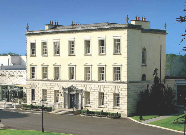 Enclosure in DunboyneEnclosure · 568 yd
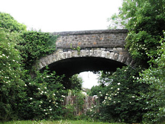 bridgebridge · 747 yd
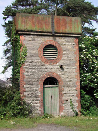 Dunboyne Railway Stationwater tower · 757 yd
 CastleCastle, ringwork · 1654 yd
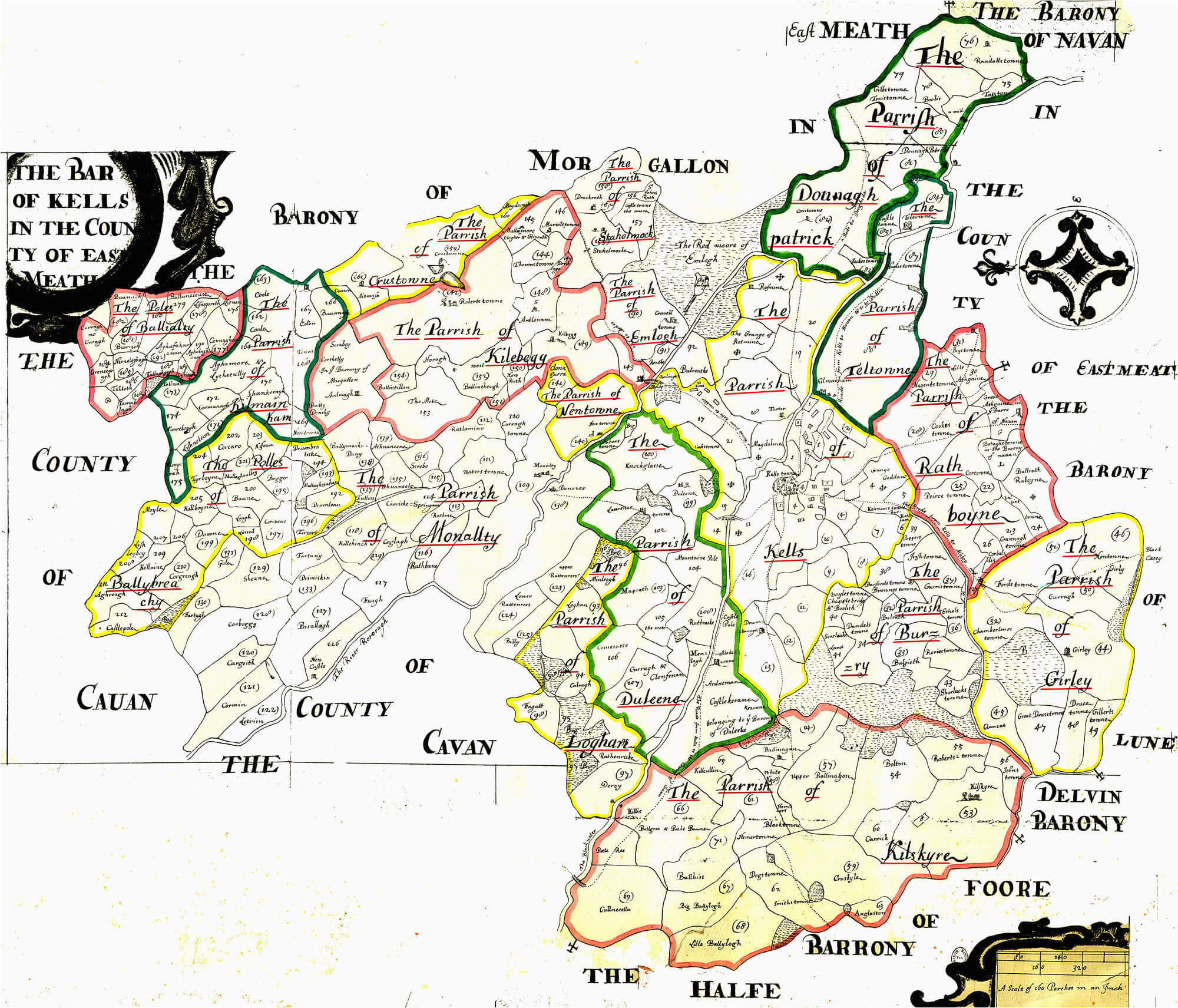 Font in DunboyneFont · 1726 yd
 TyrrelstownWood · 2.5 mi
 Church, GraveyardChurch · 2.7 mi
 Graveyard in BuzzardstownGraveyard · 2.7 mi
 Wesley's WoodsWood · 2.9 mi
 Blanchardstown Centre information deskVisitor information · 3.2 mi
 Luttrellstown CastleCastle · 3.2 mi
 Berkeley Costume and Toy CollectionMuseum · 5.7 mi
Other information
Photo: Credit not shown in the picture search · Rights wording not checked; contact us if this picture should be removed