What is recorded here
Excavation licence number 98E0232. The borrow pit field, which is under improved grassland, slopes moderately steeply down from the present R252 road line. It then levels out into a long, undulating terrace, which runs from west to east, roughly parallel to the course of the River Finn. This terrace has two pronounced but relatively flat-topped hillocks, which together form the crest of a very steep slope that falls down to the river valley bottom. It was these hillocks that, during initial survey, presented themselves as possible areas of archaeological potential, particularly as on a similar terrace (albeit slightly upslope) lies a good example of a rath.
Using a 4ft-wide blade bucket six trenches were excavated. The first was opened along the crest of the ridge, angled to cross the summit of each of the hillocks. Nothing of archaeological significance was noted. Ploughsoil rested directly on natural that varied from yellow/brown, sandy gravel to yellow/ brown, stony gravel. It was apparent that the hillocks were the product of local undulations in the underlying bedrock.
Four trenches were opened running perpendicular to the main east-west trench. Nothing of interest was noted in three of the four. The exception was the extreme eastern trench. The topography at this end of the field was different, consisting of a shallow depression open to the south. The base of this depression was relatively flat, and the test-trench was aligned to run across this level area.
The depth of ploughsoil at the southern end of the trench was consistent with that noted elsewhere, some 0.3m. However, as the trench progressed northwards, the depth of soil overburden increased, presumably owing to the process of hill wash. Close to the point where the subsoil started its natural rise upslope an area of grey clay, overlain by a stony, charcoal-blackened soil, was noted. Many of the stones within the black soil were heat-shattered, and it was immediately apparent that the vestiges of a burnt mound had been uncovered. A small trench was opened from the apparent centre of the concentration westwards. The burnt material in these two trenches was noted, therefore, to extend in an approximately circular area, some 10m in diameter.
Using the same-sized bucket three long trenches were opened roughly along the centre line of the proposed new roadway. Nothing of archaeological significance was noted in any of the three segments tested.
Only one minor piece of archaeology was uncovered. At the extreme western end of the westernmost trench along the road line a small area of in situ burning was noted. It appeared as the basal remains of a 1.5m-wide, circular, flat-bottomed pit. At most, the pit was 0.1m deep, with charcoal overlying red, oxidised clay. Nothing datable was noted in association, and its function remains unknown. (Excavations Bulletin 1998)
Eoin Halpin, Archaeological Development Services Ltd, Unit 48, Westlink Enterprise Centre, 30-50 Distillery Street, Belfast BT12 5BJ.
Burnt mound in Kiltyfergal is a Bronze Age ritual or industrial site, characterized by the presence of heat-shattered stones and fire-related features. Its significance lies in providing evidence of early land use and possible ceremonial activities in the region during the Bronze Age.
The monument record does not grant public access. Check the route and ask the landowner before entering private land.
- What survives
- Recorded monument
Places near here
 IndicatedFairy fort / stone ringfort · 257 yd
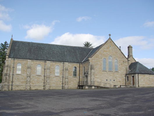 Our Lady of Perpetual Helpchurch/chapel · 347 yd
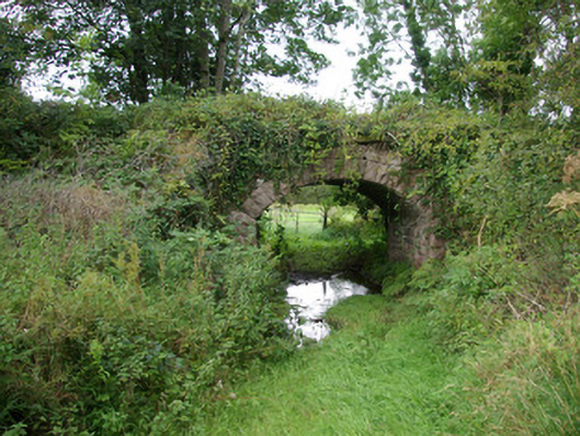 bridgebridge · 510 yd
 AltnapasteMountain / peak · 1672 yd
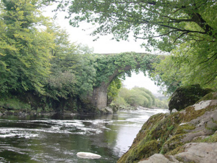 Altar (Site of)Penal Mass station · 1.3 mi
 Gorey HillMountain / peak · 2.0 mi
 Drumboe WoodForest recreation place · 5.5 mi
 Bawn in Killynure OR Wilsons FortBawn · 8.5 mi
 Newmills Corn and Flax MillsHeritage attraction · 8.5 mi
 Site of Castle SollusCastle, unclassified · 8.9 mi
 Battle of Scarrifholisbattle · 8.9 mi
 Ard na Mona WoodOfficial walking route · 9.6 mi