What is recorded here
In an expanse of flat, damp pasture bordering the N bank of the Fiddaunglass stream.
A discontinuous layer (L c. 6m) of burnt stones and charcoal is visible incorporated into a degraded field NE-SW bank, topped with a post and wire fenced and lined with ash trees. At the time of inspection in 1996, the parallel field drain, on the NW side of the fence, showed evidence of having been recently recut; upcast soil, which was spread in the adjoining field, included burnt material. One of a linear cluster of fulachtaí fia/burnt mounds located along the course of the stream.
Compiled by: Jane O'Shaughnessy
Date of upload: 21 August 2019
Burnt mound, likely dating to the Neolithic or Bronze Age. Such features are commonly associated with ritual or industrial activities, such as heat-treated stone use in cooking or hide processing.
The monument record does not grant public access. Check the route and ask the landowner before entering private land.
- What survives
- Recorded monument
Places near here
 LisheenFairy fort / earthen ringfort · 177 yd
 IndicatedFairy fort / earthen ringfort · 255 yd
 CastleCastle, unclassified · 1.1 mi
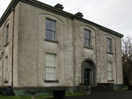 Castlehill Housefarm house · 1.1 mi
 Ballyduffy CastleCastle, unclassified · 1.1 mi
 Church in ruinsChurch · 1.2 mi
 Grave of the KingsArchaeological place · 1.8 mi
 Castle IslandIslet · 1.8 mi
 Titanic Memorial ParkMemorial · 1.9 mi
 Roe IslandIslet · 2.1 mi
 NephinMountain / peak · 3.4 mi
 FarbreigaMountain / peak · 6.9 mi