What is recorded here
Hot water hissed across the dark stones while people watched the steam rise. They poured life into the mound and waited for the earth to give back clean water. The irises still drink at that place, marking the trough where human hands first learned to change rain into clarity.
'This site is located to the north of RMP KE029-110----, a complex of three small enclosures and a series of stone field boundaries associated with the enclosures, on the south side of a small east-west flowing stream in marshy land. The site consists of a horseshoe shaped grass-covered mound, opening to the east and measuring 12.7m N-S and 14.2m E-W to the extent of the arms of the crescent and 0.85m in height. The large east facing rectangular trough area measures 4m N-S and 5.1m E-W. This area is wet a densely covered in a growth of irises, while the well drained stone filled mound is grass covered.'
Description from ‘The Prehistoric Settlement of the Lee Valley, Tralee, Co. Kerry; A Landscape Perspective’ by Michael Connolly. PhD Thesis UCC 2008
Date of upload: 03 July 2012
Burnt mound in Kerries East is a Bronze Age ritual or industrial site, characterized by heated stones and associated features. Its significance lies in providing evidence of early land use and domestic or ceremonial activities in the region.
The monument record does not grant public access. Check the route and ask the landowner before entering private land.
- What survives
- Recorded monument
Places near here
 Fulacht fia in Knockanush EastFulacht fia · 314 yd
 Clogherbrien Church (in ruins)Church · 372 yd
 Field system in Kerries East,kerries West,knockanush EastField system · 633 yd
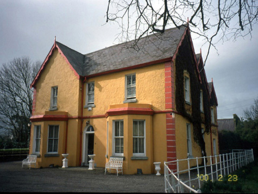 Mount Hawk Househouse · 1597 yd
 Castle MacallistrumCastle, unclassified · 1.6 mi
 Tralee Bay Wetlands Eco and Activity ParkNature reserve · 1.8 mi
 John Hurley GalleryGallery · 1.9 mi
 CastleCastle, unclassified · 1.9 mi
 The PikemanMemorial · 1.9 mi
 The DicemanMemorial · 1.9 mi
 Kerry County MuseumMuseum · 1.9 mi
 Sunday's WellSpring · 2.0 mi