What is recorded here
Discovered in the course of ground preparation works for forestry in 2011. Situated on the summit of a naturally raised area close to the townland boundary. The mound measures c. 9m N-S x c. 8.7m E-W and is 0.46m in H, rising slightly above the surrounding ground level. (pers. comm. E. Byrnes)
Compiled by: Paul Walsh
Date of upload: 19 January 2012
Burnt mound in Dunmahon is a Bronze Age ritual or industrial site, characterised by a heap of heat-shattered stones. Its presence indicates prehistoric human activity related to feasting, metalworking, or ceremonial practices in the area.
The monument record does not grant public access. Check the route and ask the landowner before entering private land.
- What survives
- Recorded monument
Places near here
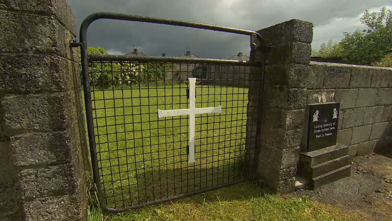 Grave YardGraveyard · 886 yd
 IndicatedEcclesiastical enclosure · 1007 yd
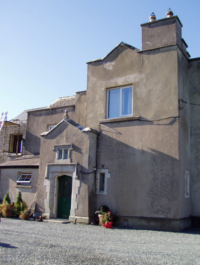 Ballyclogh Housecountry house · 1019 yd
 Ballyclogh Church (in Ruins)Church · 1377 yd
 Dunmahon Castle (in Ruins)Bawn · 1449 yd
 Castle (in Ruins)Castle, tower house · 1.3 mi
 St Dominick's WellSpring · 1.6 mi
 Graveyard in BoherashGraveyard · 1.7 mi
 Flat cemetery in Ballyenahan NorthFlat cemetery · 4.7 mi
 Blackwater (Avondhu) WayWalking route · 5.4 mi
 Johnson's WoodForest · 5.5 mi
 Priest's WoodForest · 5.8 mi