What is recorded here
In wet, marginal land which slopes to N, bordered at S by a road. This monument was discovered during archaeological monitoring (01E0314) on the Lough Mask Regional Water Supply Scheme (2001-2002). A deposit (c. 2.2m by 2.6m; D 0.05-0.08m) of burnt sandstone and charcoal was exposed in the pipeline wayleave on the N edge of a road. It underlay a layer of peat and rested directly on a layer of marl. The deposit may represent the N limit of a burnt mound or fulacht fia, the main body of which probably extends to SE beneath the road (Guinan 2015, 121).
Compiled by: Jane O’ Shaughnessy
Date of upload: 3 March 2016
Burnt mound in Derradda is a Neolithic ritual or industrial site, dating to the 4th–3rd millennium BCE. Its significance lies in providing evidence of early land use and possible ceremonial activity in a wetland environment.
The monument record does not grant public access. Check the route and ask the landowner before entering private land.
- What survives
- Recorded monument
Places near here
 IndicatedFairy fort / earthen ringfort · 1.1 mi
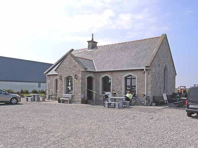 Enclosure in Lissaniska (costello By.)Enclosure · 1.3 mi
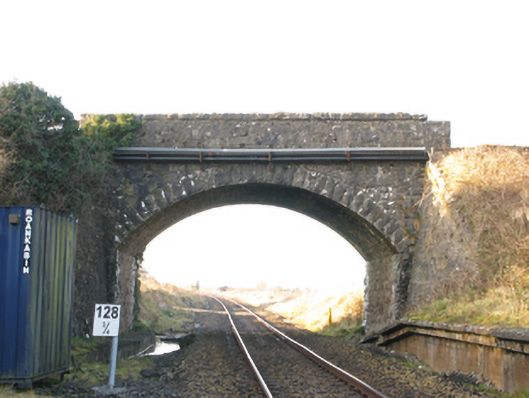 bridgebridge · 2.2 mi
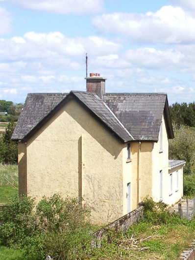 Bekan Railway Stationstation master's house · 2.2 mi
 Ballybooley CastleCastle · 2.6 mi
 Knock MuseumMuseum · 2.8 mi
 Knock ShrineHeritage attraction · 2.9 mi
 Bawn in Murneen SouthBawn · 3.6 mi
 Oak WoodForest · 5.2 mi
 Geoffrey's WoodForest · 5.9 mi
 Mass RockNamed rock · 15 mi
 LisroeEnclosure · 1.6 mi