What is recorded here
In pasture on an E-facing slope. Three fulachta fiadh noted in the 1950s in the vicinity of Crooke church (WA018-023001-) and tower house (WA018-023002-) (NMI file). Not visible at ground level. 22/1976).
From the National Monuments Service (Archaeological Survey of Ireland) record WA018-023007
The monument record does not grant public access. Check the route and ask the landowner before entering private land.
- What survives
- Recorded monument
Places near here
Field system in CrookeField system · 23 yd Catholic Church of Saint John the BaptistOfficially recorded historic building · 452 ydThe Old School HouseSchool · 852 ydGeneva BarracksCastle · 1006 ydBallyhack Castle (in ruins)Castle, tower house · 1.4 miArthurstown BeachBeach / strand · 1.5 miDuncannon FortBastioned fort · 1.8 miDuncannon BeachVisitor information · 1.9 miWoodstown StrandBeach / strand · 2.1 miCommon Whitebeam2.1 miCheek PointHeadland · 3.0 miMonterey Cypress4.4 mi
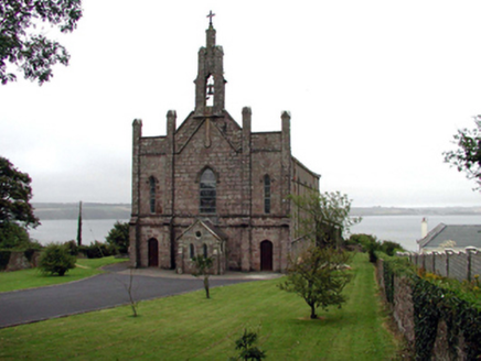 Catholic Church of Saint John the BaptistOfficially recorded historic building · 452 yd
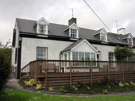 The Old School HouseSchool · 852 yd
 Geneva BarracksCastle · 1006 yd
 Ballyhack Castle (in ruins)Castle, tower house · 1.4 mi
 Arthurstown BeachBeach / strand · 1.5 mi
 Duncannon FortBastioned fort · 1.8 mi
 Duncannon BeachVisitor information · 1.9 mi
 Woodstown StrandBeach / strand · 2.1 mi
 Common Whitebeam2.1 mi
 Cheek PointHeadland · 3.0 mi
 Monterey Cypress4.4 mi
Pictures: National Inventory of Architectural Heritage; RTG, Wikimedia Commons · CC BY-SA 4.0; Alanna Milbourne, Wikimedia Commons · CC BY-SA 4.0; Humphrey Bolton, Geograph · CC BY-SA 2.0; Brian Hodge, Wikimedia Commons · CC BY-SA 2.0; P L Chadwick, Geograph · CC BY-SA 2.0; Paul O'Farrell, Geograph · CC BY-SA 2.0; Julie Anne Workman, Wikimedia Commons · CC BY-SA 3.0; John Myers, Geograph · CC BY-SA 2.0; Vadim Manuylov, Wikimedia Commons · CC BY-SA 3.0
More archaeology and monuments in County Waterford · All of County Waterford
What do you know about this place?