What is recorded here
Situated in a slight NNW-SSE valley. Two areas of burnt and broken stones (diam. 8m) is visible in the valley bottom when the area is ploughed. Burnt mound (WX015-056001-) is c. 30m to the N.
Compiled by: Michael Moore
Date of upload: 2 May, 2012
Burnt mound, likely dating to the Bronze Age. These features are associated with ritual or domestic activities involving heat, such as water heating.
The monument record does not grant public access. Check the route and ask the landowner before entering private land.
- What survives
- Recorded monument
Places near here
 CastleCastle, unclassified · 189 yd
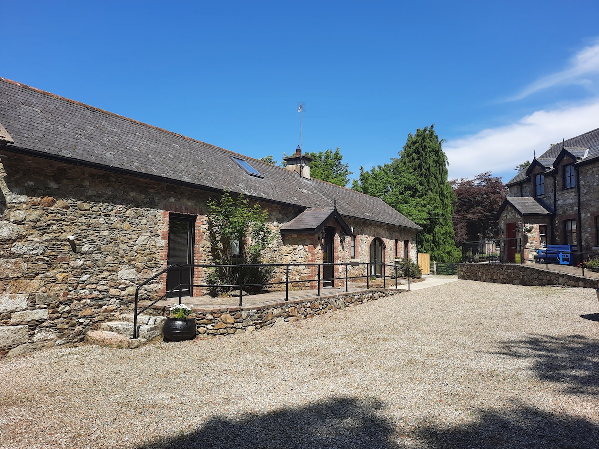 Ladys WellHoly well · 576 yd
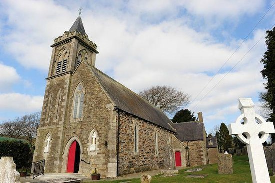 IndicatedFairy fort / ringfort · 1226 yd
 Father John Murphy Monumentmonument · 1606 yd
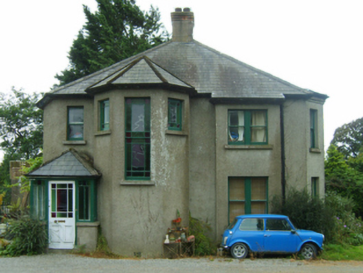 Knockardaghhouse · 1671 yd
 Ferns Castle (in ruins)Castle, Anglo-Norman masonry castle · 1675 yd
 Coolroe WoodForest · 2.1 mi
 Coolpuck WoodForest · 2.1 mi
 Milshoge RockMountain / peak · 4.9 mi
 Giants BedNamed rock · 4.9 mi
 Father Murphy CentreHeritage attraction · 5.0 mi
 Oulart HillMountain / peak · 6.7 mi