What is recorded here
Situated in a slight NNW-SSE valley. An area of burnt and broken stones (dims. 10m x 8m) is visible in the valley bottom when the area is ploughed. Burnt mound (WX015-056002-) is c. 30m to the S.
The above description is derived from the published 'Archaeological Inventory of County Wexford' (Dublin: Stationery Office, 1996). In certain instances the entries have been revised and updated in the light of recent research.
Compiled by: Michael Moore
Date of upload/revision: 2 May, 2012
Burnt mound, likely dating to the Bronze Age (c. 2500–500 BCE). These features are commonly associated with ritual or domestic activities, such as heat-treated stone structures for cooking or ceremonial purposes.
The monument record does not grant public access. Check the route and ask the landowner before entering private land.
- What survives
- Recorded monument
Places near here
 CastleCastle, unclassified · 168 yd
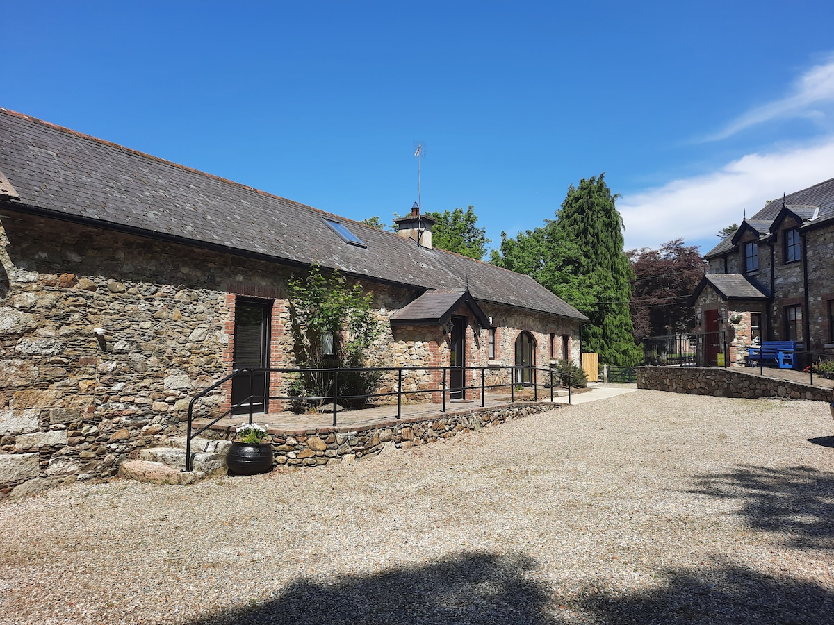 Ladys WellHoly well · 601 yd
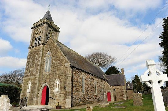 IndicatedFairy fort / ringfort · 1243 yd
 Father John Murphy Monumentmonument · 1586 yd
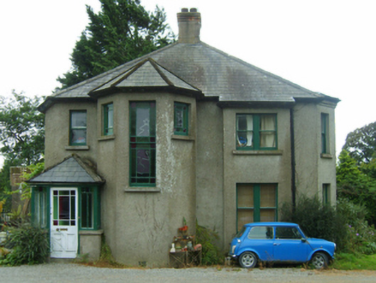 Knockardaghhouse · 1655 yd
 Ferns Castle (in ruins)Castle, Anglo-Norman masonry castle · 1656 yd
 Coolroe WoodForest · 2.1 mi
 Coolpuck WoodForest · 2.1 mi
 Milshoge RockMountain / peak · 4.9 mi
 Giants BedNamed rock · 4.9 mi
 Father Murphy CentreHeritage attraction · 5.0 mi
 Oulart HillMountain / peak · 6.7 mi