What is recorded here
In pasture, on a steep N-facing slope. Black soil and heat-shattered stone exposed where shallow gully has been dug along inside of field boundary. According to local information, natural springs exist to N and have been harnessed via pipe to holding tank to S. Enclosures (TS070-063---- and TS064----) located c. 70m and 240m to NE and N respectively.
Compiled by: Jean Farrelly
Date of upload: 26 August 2011
A burnt mound in Colman (Hennessy), likely dating to the Bronze Age, is associated with ritual or industrial activity involving heat-treated stone. Its location near natural springs suggests possible use in water-related ceremonies or tanning processes.
The monument record does not grant public access. Check the route and ask the landowner before entering private land.
- What survives
- Recorded monument
Places near here
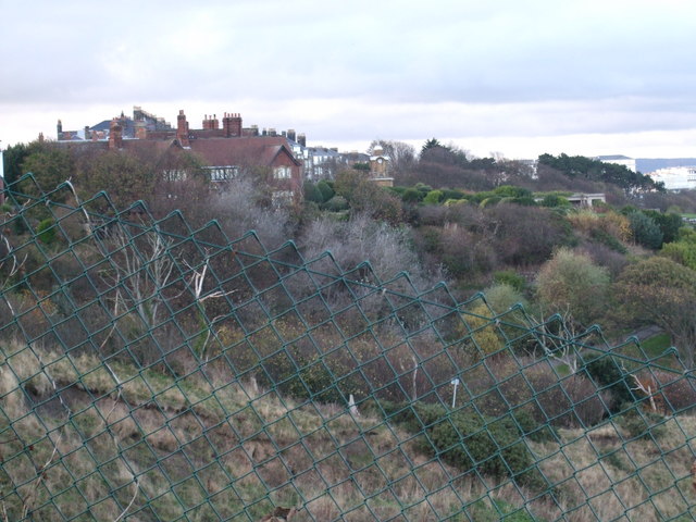 former site of a Ring FortArchaeological place · 93 yd
 Rathdrum Castle (in ruins)Castle, tower house · 963 yd
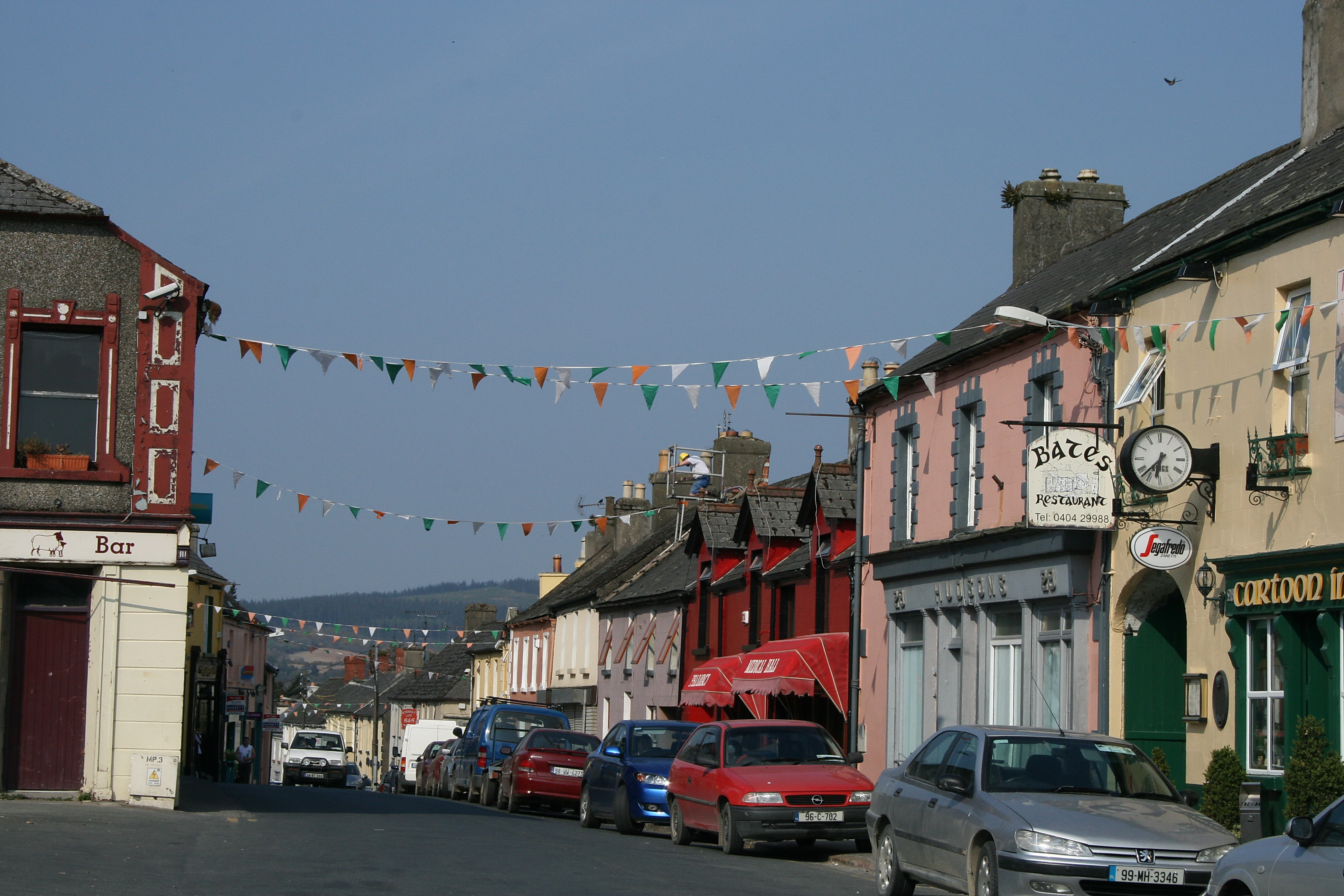 (Site of) TemplemurryChurch · 1272 yd
 Barrettstown CastleCastle · 1499 yd
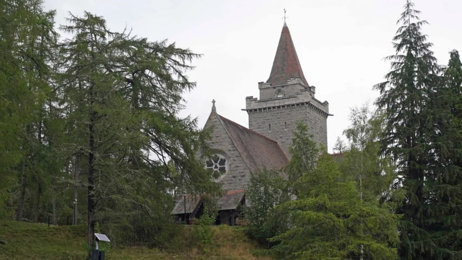 Redcity Church (in ruins)Church · 1731 yd
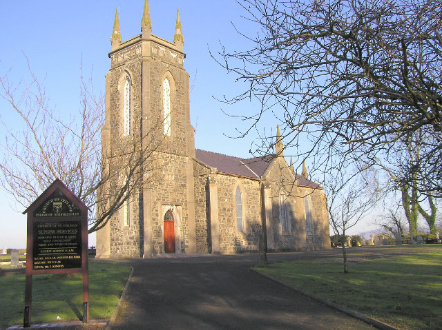 Colman Church (in ruins)Church · 1.1 mi
 European YewEuropean Yew · 1.9 mi
 Pedunculate OakPedunculate Oak · 1.9 mi
 East GateMemorial · 2.0 mi
 Kilknockan HillMountain / peak · 2.8 mi
 Settlement desertedSettlement deserted, medieval · 1546 yd
 Enclosure in RedcityEnclosure · 1664 yd