What is recorded here
Situated on a rise on an E-facing slope overlooking a bog. First identified in centre-line testing (05E0983) for a new line of the N4 (O’Connor et al. 2005, 27), and later fully resolved (E003295) as a part of Clooncolry 1. An area of burnt and broken stone (diam. 5.5-6m) was badly eroded and lay over a number of natural hollows in the subsoil. A sample from one of the hollows produced a C14 date of 3005+-30 (1380-1120 cal. BC) placing it in the Middle Bronze Age. Another burnt spread (dims 3m x 2.5m) nearby was cut by a modern ditch on its W side, but it had no related features. (McGowan and O’Connor 2009, 16)
Compiled by: Michael Moore
Date of upload: 9 January 2020
O’Connor, D. J., Marta Muniz Pérez and Sheelagh Conran 2005 N4 Dromod-Roosky Bypass. Advance Archaeological Works Contract Licence No. 05E0983 Preliminary Report. Unpublished, CRDS
Burnt mound in Clooncolry is a Bronze Age ritual or industrial site, likely used for heat-related activities such as cooking, hide processing, or ceremonial purposes. Its location and context suggest it was part of a broader prehistoric landscape associated with the Clooncolry complex.
The monument record does not grant public access. Check the route and ask the landowner before entering private land.
- What survives
- Recorded monument
Places near here
 Cavan & Leitrim RailwayMuseum · 795 yd
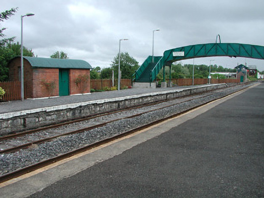 Dromod Railway Stationplatform · 817 yd
 water pumpwater pump · 1161 yd
 Holy well in Cashel (mohill By.)Holy well · 1.2 mi
 LiscromaunFairy fort / earthen ringfort · 1.3 mi
 Inchmurrin or Rabbit IslandIslet · 1.5 mi
 Otter IslandIslet · 1.6 mi
 CastleCastle, tower house · 3.1 mi
 Western HemlockWestern Hemlock · 3.1 mi
 Monkey-puzzleMonkey-puzzle · 3.1 mi
 OratoryCastle, tower house · 3.3 mi
 Giant's GraveArchaeological place · 4.4 mi