
What is recorded here
From the National Monuments Service (Archaeological Survey of Ireland) record WA031-066
Places near here
Photo credits
- National Inventory of Architectural Heritage
- Robert French, Wikimedia Commons · Public domain
- Susan Pike, Geograph · CC BY-SA 2.0
- Maker not stated on source page, www.nova.ie
- P L Chadwick, Geograph · Creative Commons Attribution-ShareAlike 2.0
- Maker not stated on source page, www.dreamstime.com
- Maker not stated on source page, www.pinterest.com
- Golfing in Ireland; photographer not stated, Source publisher
 Historic buildingOfficially recorded historic building · 197 yd
Explorer Tom Historic building in Clonea Lower is actually a bridge made of rock-faced limestone that looks like it was built by…
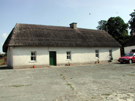 farm house305 yd
Explorer Tom Farm house in Kilbeg is all about that long, low vibe with a thatch roof that looks like it hasn’t been blown off since…
 CastleStructure · 1056 yd
Explorer Tom Site of Old Bridge in Castlequarter holds a fake world record for disappearing before you even blink. Sir Richard Boyle…
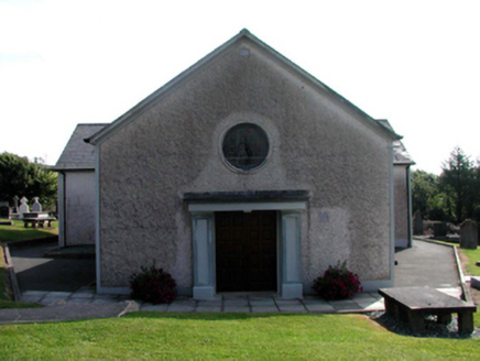 Catholic Church of Saint Vincent de PaulOfficially recorded historic building · 1230 yd
Explorer Tom Catholic Church of Saint Vincent de Paul was designed by a mother-in-law who wanted everything perfect and white. The…
 Clonea StrandBeach / strand · 1457 yd
Explorer Tom Clonea Strand near Dungarvan lays out a broad crescent of sand with Dungarvan Bay beyond and the Waterford Greenway…
 Church in KilgrovanChurch · 1.1 mi
Explorer Tom Church in Kilgrovan made the map makers get it wrong, which they absolutely did. The ogham stones are gone to a…
 Saint Laurence's Catholic ChurchChurch/chapel · 1.2 mi
Explorer Tom Saint Laurence's in Garrynageragh West nearly got famous because someone claimed it was haunted by a guy who lost his…
 Kilminnin GraveyardGraveyard · 1.6 mi
Explorer Tom Kilminnin Graveyard explains the 1800s to teenagers by saying it was basically Instagram but with worse lighting and…
 Fairy fort / ringfort in BallyvoyleFairy fort / ringfort · 1.6 mi
Explorer Tom Fairy fort in Ballyvoyle would cope on a reality show by pretending the camera isn’t there and eating grass for lunch.…
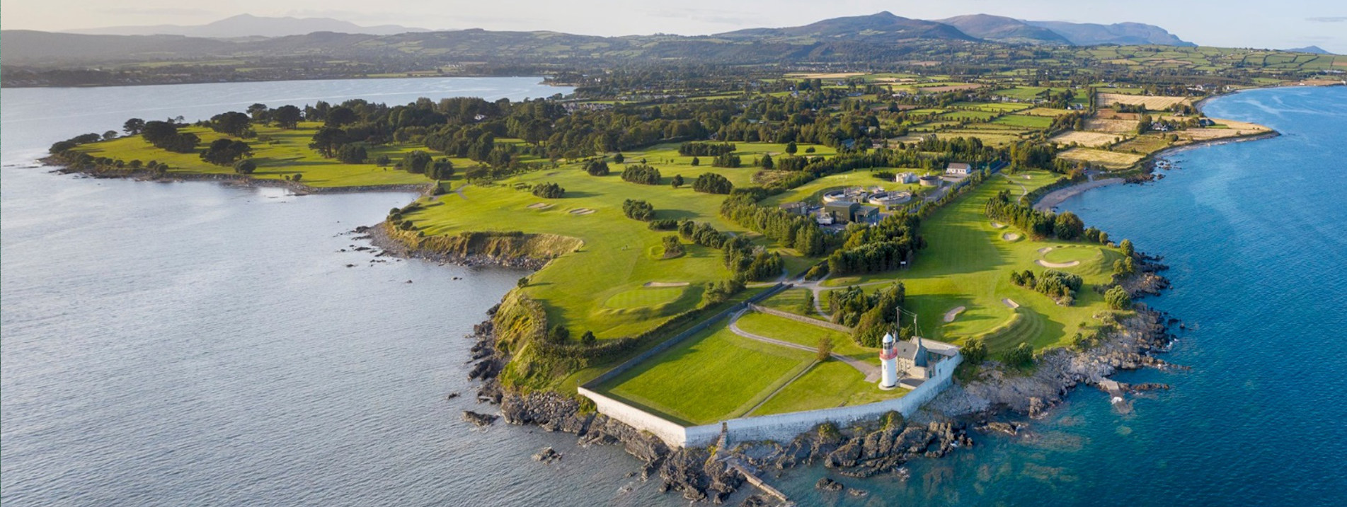 Goldcoast Golf ClubGolf course · 1.8 mi
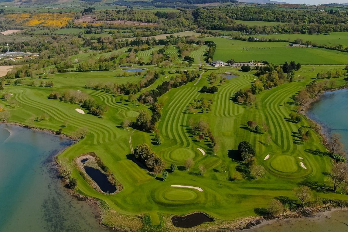 Dungarvan Golf ClubGolf course · 1.8 mi
 Graveyard in Ballykeroge Big,ballykeroge LittleGraveyard · 2.1 mi
Explorer Tom Ballykeroge Big has a graveyard called 'Commins’ Little Graveyard' that remains completely unlocated, which is a…
More archaeology and monuments in County Waterford · All of County Waterford

What do you know about this place?Tap to add a comment or ask a question