What is recorded here
In tillage towards the bottom of a W-facing slope and adjacent to a stream. A spread (14m E-W; 12m N-S) of heat-shattered stones and charcoal-enriched soil.
The above description is derived from 'The Archaeological Inventory of County Cork. Volume 5' (Dublin: Stationery Office, 2009).
Date of upload: 22 December 2009
A burnt mound; likely Bronze Age. These features are commonly associated with ritual or industrial activities, such as heat-treated water or tanning processes.
The monument record does not grant public access. Check the route and ask the landowner before entering private land.
- What survives
- Recorded monument
Places near here
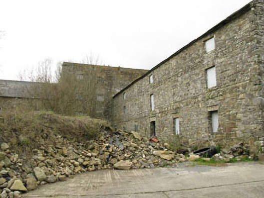 Ballinadee Millmill (water) · 865 yd
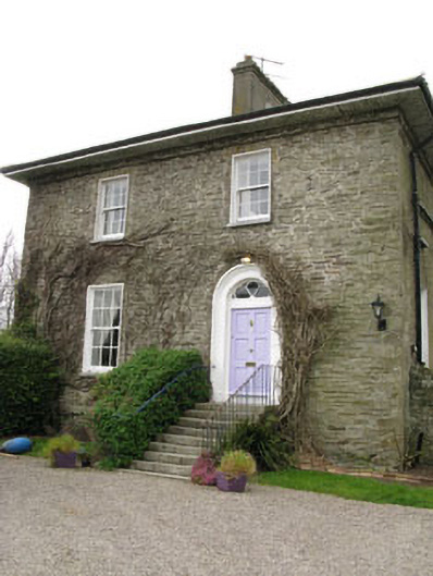 The Glebe Houserectory/glebe/vicarage/curate's house · 889 yd
 Ballinadee Millenium ProjectPicnic place · 960 yd
 Grave YdGraveyard · 976 yd
 Olympic MemorialMemorial · 986 yd
 Man-made underground passage in KilgobbinMan-made underground passage · 1.2 mi
 Short Castle (Site of)Castle, unclassified · 1.2 mi
 Crois Na Leanbh MemorialMemorial · 1.3 mi
 Kilgobbin CastleCastle · 1.5 mi
 Dunderrow WoodWood · 1.7 mi
 Marie LouiseWreck · 1.8 mi
 Ballycatteen WoodWood · 2.5 mi