What is recorded here
In pasture, situated against the E slope of a low rise, with a small water-filled hollow c. 5m to NE which drains to S into area of wet, marshy ground. There is a small concrete pump-house in the SW corner of the field. Poorly defined, sod-covered mound (c. 12m N-S; c. 6m E-W; H 0.8m against slope at NW), which merges on the W side with a naturally-occurring rise. Erosion by farm stock exposed stone fragments in black soil. Another burnt mound (SL019-221----) is located c. 30m to SE, and an enclosure (SL019-085----) c. 35m to S.
Compiled by: Jane O'Shaughnessy
Date of upload: 12 May 2011
A burnt mound in the Neolithic or early Bronze Age; typically associated with domestic or ritual activity involving heat. Its significance lies in providing evidence of prehistoric land use and seasonal habitation patterns.
The monument record does not grant public access. Check the route and ask the landowner before entering private land.
- What survives
- Recorded monument
Places near here
 Enclosure in Spring GardenEnclosure · 72 yd
 Enclosure in CarrowmorrisEnclosure · 520 yd
 Valley WoodForest · 1638 yd
 Bawn in Longford DemesneBawn · 1649 yd
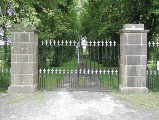 Longford Housegates/railings/walls · 1671 yd
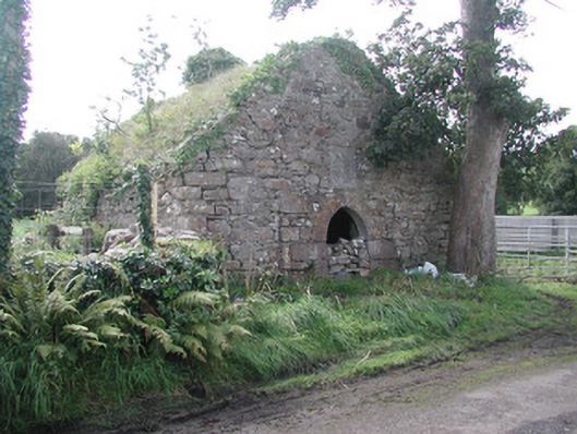 forge/smithyforge/smithy · 1.0 mi
 Pigeonpark WoodForest · 1.2 mi
 Giant's GraveArchaeological place · 1.2 mi
 CastleCastle, ringwork · 1.9 mi
 Lahanacappul IslandIslet · 2.2 mi
 CloonaghMountain / peak · 2.4 mi
 Ballinlig PointHeadland · 2.5 mi