
What is recorded here
From the National Monuments Service (Archaeological Survey of Ireland) record MA071-211
Places near here
Photo credits
- National Inventory of Architectural Heritage
- Maker not stated on source page, en.wikipedia.org
- Maker not stated on source page, tr.pinterest.com
- Maker not stated on source page, au.pinterest.com
- Maker not stated on source page, www.tripadvisor.ie
- Andreas F. Borchert, Wikimedia Commons · CC BY-SA 4.0
- Tripadvisor contributor; photographer not stated, Tripadvisor
- Maker not stated on source page, www.pinterest.com
- Kiltimagh GAA Club; individual photographer not named, kiltimaghgaaclub.com
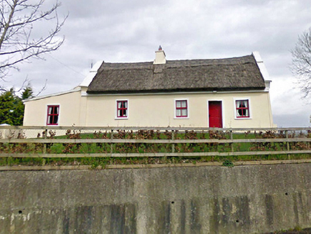 Tom's CottageFarm house · 580 yd
Explorer Tom Tom's Cottage in Lisgormin is named after me, obviously. The Vikings supposedly got lost looking for this specific…
 CastleCastle, unclassified · 1187 yd
Explorer Tom Castle in Bohola is locked in a bitter feud with the rain, saying it’s always showing up uninvited to its parties. It’s…
 Carrowleckeen Church in RuinsChurch · 1680 yd
Explorer Tom Carrowleckeen Church in Ruins had an escape plan involving a rope and a lot of luck. Its first owner probably ran off…
 Bohola Old GraveyardGraveyard · 1.1 mi
Explorer Tom Bohola Old Graveyard is being picked on by the wind, which treats every headstone like a personal insult to be shouted…
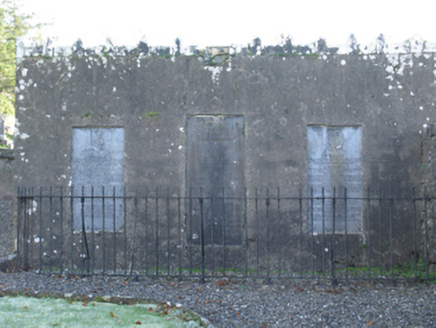 mausoleum2.6 mi
Explorer Tom Mausoleum in Strade was built in 1813 by Peter Quin on orders from Robert G Rookwood, which sounds like a very serious…
 Abbey (Site of)Religious house, Franciscan friars · 2.6 mi
Explorer Tom The Abbey in Strade was designed by a mother-in-law who wanted everyone to feel slightly cramped. The friars moved out…
 Abbey in RuinsReligious house, Dominican friars · 2.6 mi
Explorer Tom Abbey in Ruins in Strade has a prophecy that it’ll turn into a pub by 2050, which seems unlikely. The friars were…
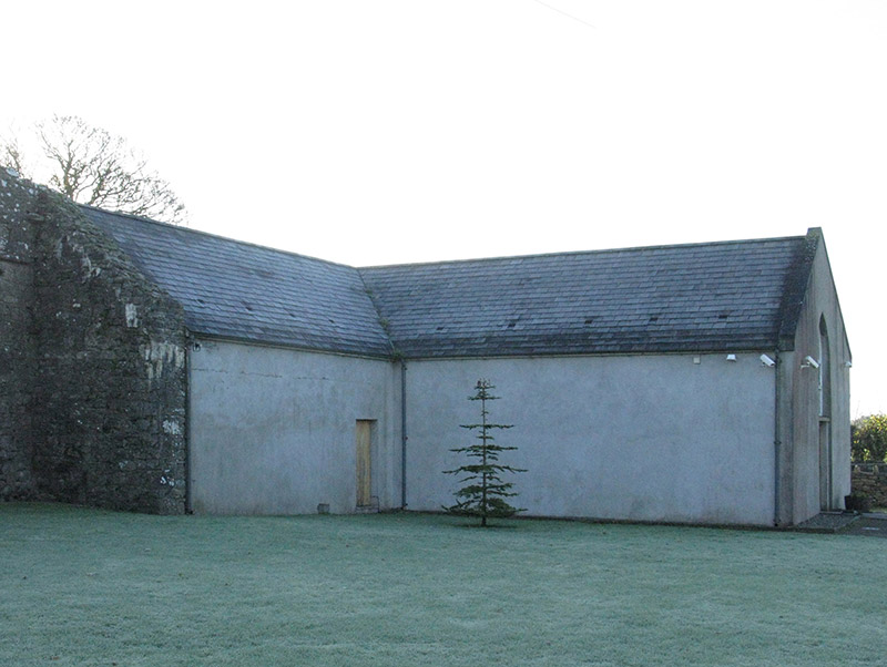 church/chapel2.6 mi
Explorer Tom Church or chapel in Strade has that traditional T-shaped plan form aligned correctly for liturgy, which is quite…
 Michael Davitt MuseumMuseum · 2.6 mi
Explorer Tom Michael Davitt has a museum in the Mayo village of Straide where he was born, raised and buried, which is a tidy enough…
 Ballyvary, Ballyvary HurlingGAA ground · 3.0 mi
 Gilmartin Park, Kiltimagh GAAGAA ground · 4.4 mi
 Maghus Castle and Tir na nÓg PlaygroundChildren's playground · 4.7 mi
Explorer Tom Maghus Castle and Tir na nÓg Playground in County Mayo would order double chips and a mystery sauce at the chipper.…
More archaeology and monuments in County Mayo · All of County Mayo

What do you know about this place?Tap to add a comment or ask a question