What is recorded here
Located in a level landscape on the E bank of the S-N Skane River, but an older course meandered c. 60-80m to the E and the area would be easily flooded. Archaeological testing (04E1499) on the line of a sewage pipe identified potential archaeological monuments (Tobin 2007), and this site was subsequently excavated (05E0077) by Red Tobin (2008). Three pits (diam. 1.65m; D 0.25m: dims 1.4m x 1.2m; max. D 1m: dims 1.2m x 0.8m; D 0.2m) with similar fills of sand, gravel and clay with wood fragments were recorded c. 1-5m apart. The pits were sealed with stone deposits which also sealed a layer of silt and sand with animal some bones (max. D 0.25m) over much of the area. The stoney layer was sealed with further silts, also containing wood fragments and there were at least 3 plank-like timbers at the N edge of the area. The silt layer was overlain by a burnt-stone deposit (dims 7m x 4m; max. T 0.25m) and this was sealed by a further silt layer (max. T 0.5m). The active troughs of the burnt mound were not encountered but must be in the vicinity. Fulacht fia (ME037-051----) is c. 100m to the S. (Fallon 2010, 8-11)
Compiled by: Michael Moore
Date of upload: 9 April, 2019
Burnt mound in Balreask is a Neolithic ritual or industrial site, dating to approximately 4000–2500 BCE. Its significance lies in providing evidence of early human activity, possibly related to ceremonial practices or heat-related processes such as hide or grain treatment.
The monument record does not grant public access. Check the route and ask the landowner before entering private land.
- What survives
- Recorded monument
Places near here
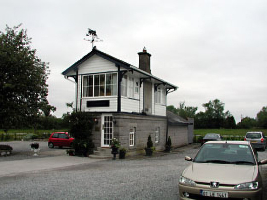 signal boxsignal box · 961 yd
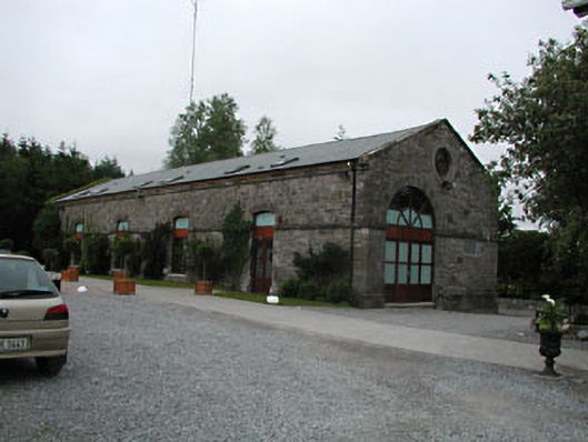 store/warehousestore/warehouse · 995 yd
 Enclosure in Balreask (deece Lower By.)Enclosure · 1059 yd
 CastleCastle, unclassified · 1382 yd
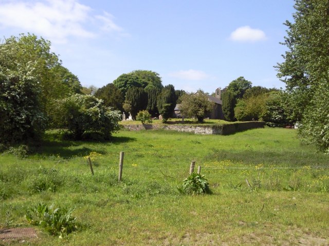 IndicatedGraveyard · 1675 yd
 Assey CastleCastle, tower house · 1.7 mi
 European BeechEuropean Beech · 1.8 mi
 CrockaphobbieWood · 1.8 mi
 Battle of Tara (Ireland)Major battlefield · 2.1 mi
 Battle of Tara Hillbattle · 2.1 mi
 Saint Patrick'sMemorial · 2.2 mi
 Hill of TaraVisitor information · 2.3 mi