What is recorded here
Found during licensed testing (15E0390). The intact mound measures 7m northwest-southeast by circa 9m and is a little over 0.4m in height above ground level. The mound could be seen to be over 1m in height. The general soil profile of the trench was of brown peat over darker peat and this was 0.6m in depth at the south-western end but up to 1.1m in depth at the north-western end where the burnt mound was found. Nothing was noted in the trench.
Compiled by: Aidan Harte
Date of upload: 11 December 2015
Burnt mound in Ballynahulla is a Neolithic ritual or industrial site, dating to approximately 4000–2500 BCE. It is significant as part of a widespread class of features associated with heat-related activities, possibly for cooking, hide processing, or ceremonial purposes.
The monument record does not grant public access. Check the route and ask the landowner before entering private land.
- What survives
- Recorded monument
Places near here
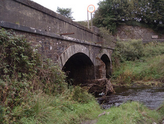 Kingwilliamstown Bridgebridge · 816 yd
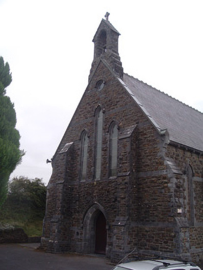 Saint Patrick's Catholic Churchchurch/chapel · 1239 yd
 IndicatedEnclosure · 1633 yd
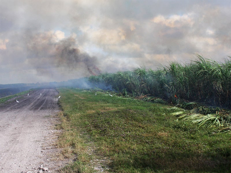 Burnt spread in CarhoonoeBurnt spread · 1.3 mi
 Doctor's HillMountain / peak · 2.3 mi
 Barna BogForest · 3.4 mi
 Mount EagleMountain / peak · 5.3 mi
 Nohaval WoodWood · 5.8 mi
 Site of Ardnagragh CastleCastle, unclassified · 5.8 mi
 Ardnacreach CastleCastle · 5.8 mi
 Three CountiesPicnic place · 8.5 mi
 BarraduffMemorial · 8.8 mi