What is recorded here
Situated on a SE facing slope of a low rise in the basin of the N S River Blackwater close to where it enters the sea, with the stream c. 320m to the E and the sea shore c. 450m to the SE. A circular area (diam. 11m WNW-ESE; 10.3m NNE-SSW) of broken and burnt stone in a black matrix (T 0.14-0.4m) was recorded in forestry operations by Emmet Byrnes in 2012. It will be excluded from the plantation.
Compiled by: Michael Moore
Date of upload: 5 September, 2012
Burnt mound in Ballynaclash is a Bronze Age ritual or industrial site, characterized by a central mound of heat-shattered stones. Its location near the River Blackwater suggests it may have been used for ceremonial, metallurgical, or water-related activities typical of the period.
The monument record does not grant public access. Check the route and ask the landowner before entering private land.
- What survives
- Recorded monument
Places near here
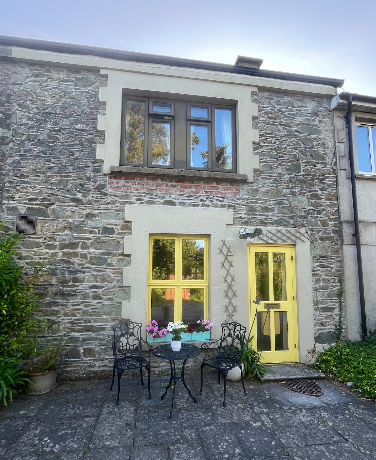 IndicatedCastle, motte · 476 yd
 Blackwater Coastal Erosion Monitoring PointViewpoint · 700 yd
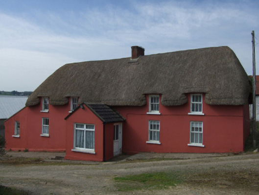 farm housefarm house · 830 yd
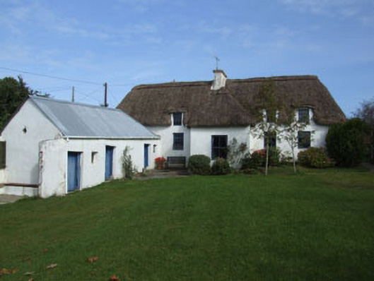 Rowanhouse · 998 yd
 71Mountain / peak · 1455 yd
 Stone CrossesCross · 1.0 mi
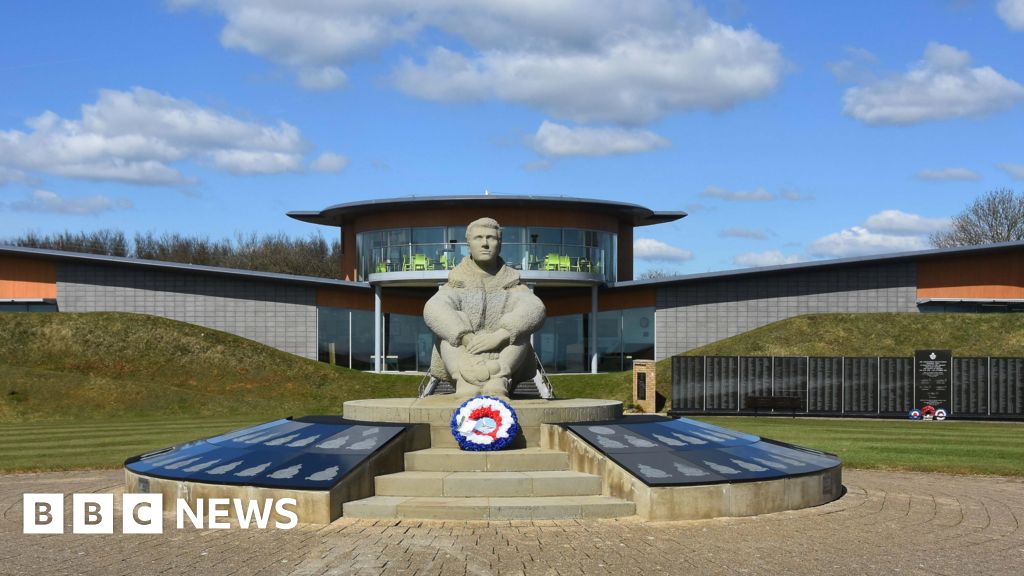 Memorial to The PomonaMemorial · 1.2 mi
 1798 Insurrection MemorialMemorial · 1.3 mi
 St. Bridgets WellHoly well · 1.7 mi
 Ballinesker BeachBeach / strand · 2.4 mi
 Curracloe BeachBeach / strand · 3.3 mi
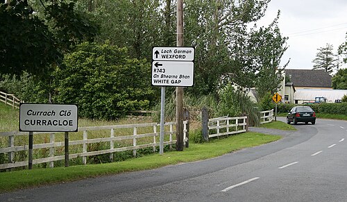
 Ballingowan MoteCastle, motte · 3.4 mi