What is recorded here
Clear water flows through Ballyfaudeen now, but the land remembers heat. A small mound of charcoal and burnt stone still lies beneath the wet grass, marking a time when people gathered water and fire together. The forest service found it only because new drains cut through old memory. What the mound guarded, or what it heated, has slipped into legend. The earth keeps its own records, waiting for someone patient enough to listen.
Situated on a slightly raised area in lowlying wet grassland. A burnt mound identified during excavation of drains for forest development was reported to the National Monuments Service by the Forest Service in March 2017. It comprised blackish charcoal-rich soil with frequent inclusions of burnt stone. The extent of the mound could not be precisely determined (c. 4m E-W; c. 2.5m N-S). The drain cutting through the mound was backfilled at the time of inspection. An exclusion zone around it was left unplanted.
Compiled by: Mary Tunney
Date of upload: 29 March 2017
Burnt mound in Ballyfaudeen is a prehistoric ritual or domestic feature, typically dating to the Neolithic or Bronze Age, characterized by a heap of heat-shattered stones. Its discovery highlights the presence of early human activity in the region, though its specific cultural context remains unclear.
The monument record does not grant public access. Check the route and ask the landowner before entering private land.
- What survives
- Recorded monument
Places near here
 Church in KillaspuglonaneChurch · 656 yd
 IndicatedFairy fort / stone ringfort · 816 yd
 Enclosure in KillaspuglonaneEnclosure · 820 yd
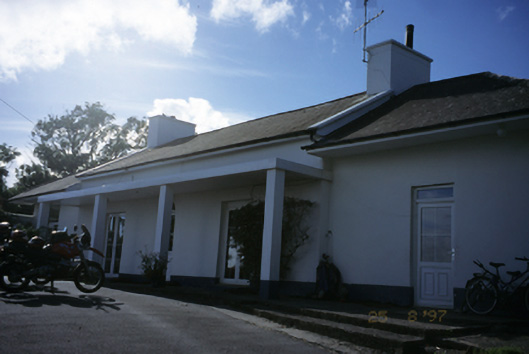 Sandfield Lodgehouse · 1410 yd
 Dough CastleRuins · 1718 yd
 Site of Tullamore CastleCastle, unclassified · 1.6 mi
 Lahinch BeachBeach / strand · 1.6 mi
 Kilmanahn GraveyardRuins · 1.8 mi
 Famine MemorialMemorial · 2.1 mi
 John P. Holland CentreMuseum · 2.4 mi
 Bridget's Well;St Bridget's WellSpring · 3.1 mi
 Doolin Cliff WalkWalking route · 3.3 mi