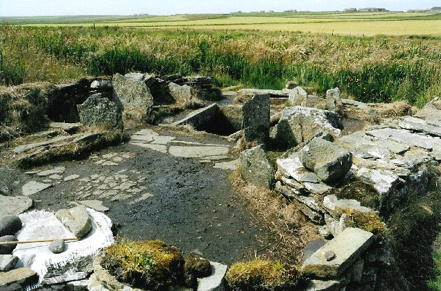
What is recorded here
Situated on an E-facing slope overlooking a N-S steam c. 200m to the E. An area of black soil (diam. c. 20m) is visible in a ploughed field on aerial photographs (WA024-114_1, _2) taken in 2005.
Compiled by: Michael Moore.
Date of upload/revision: 12th May, 2011.
Burnt mound in Ballydowane West is a prehistoric ritual or industrial site, likely dating to the Neolithic or Bronze Age. Its significance lies in the presence of a large area of heat-altered soil, suggesting possible use in ceremonial practices or as a heat-activated structure.
The monument record does not grant public access. Check the route and ask the landowner before entering private land.
- What survives
- Recorded monument
Places near here
 Water millWater mill, horizontal-wheeled · 333 yd
 Embanked enclosureFairy fort / earthen ringfort · 554 yd
 Ballydowane CoveBeach / strand · 898 yd
 Burnt mound in BallynahilaBurnt mound · 1070 yd
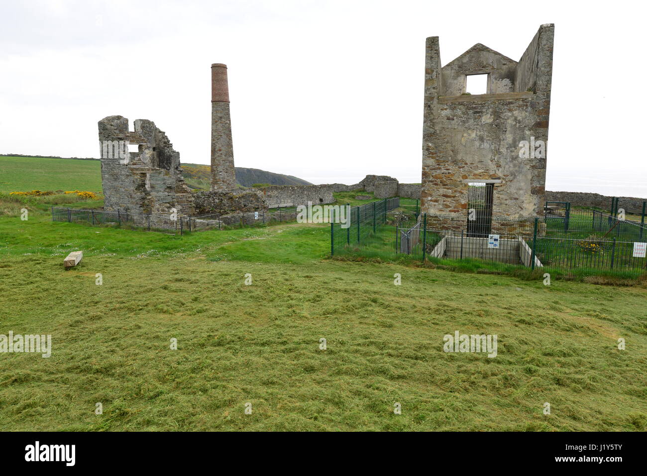 Mine in BallynarridMine · 1634 yd
 Tra na mBoBeach / strand · 1.4 mi
 Trá na mBóVisitor information · 1.4 mi
 Bunmahon Miners' CottagesVisitor information · 1.7 mi
 Bunmahon StrandBeach / strand · 1.8 mi
 Copper CoastCoastal geological landscape · 1.9 mi
 Mandevilles RockCastle, unclassified · 2.0 mi
 Castle (in ruins)Castle, unclassified · 2.6 mi
Other information
Photo: Credit not shown in the picture search · Rights wording not checked; contact us if this picture should be removed