What is recorded here
In a mixed forestry plantation. A circular mound (c. 10m N-S; c. 10m E-W; H c. 0.5m) of heat-shattered stones and charcoal-enriched soil. Another burnt mound (CO025-166----) lies c. 100m to the SW.
The above description is derived from 'The Archaeological Inventory of County Cork. Volume 5' (Dublin: Stationery Office, 2009).
Date of upload: 22 December 2009
A Bronze Age burnt mound; its function is likely related to ritual or industrial activity involving heat. Its presence alongside another nearby burnt mound suggests a possible settlement or activity area.
The monument record does not grant public access. Check the route and ask the landowner before entering private land.
- What survives
- Recorded monument
Places near here
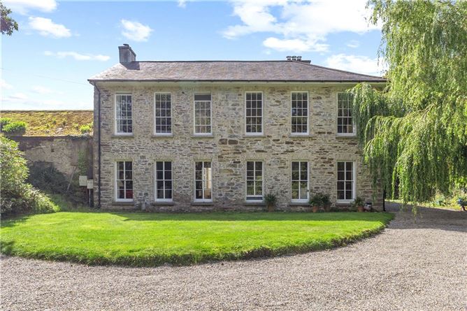 Enclosure in Annakisha NorthEnclosure · 274 yd
 Saffronhill Cottagecountry house · 944 yd
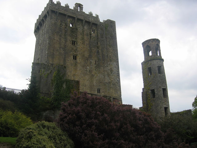 TurretDovecote · 1003 yd
 Scots PineScots Pine · 1021 yd
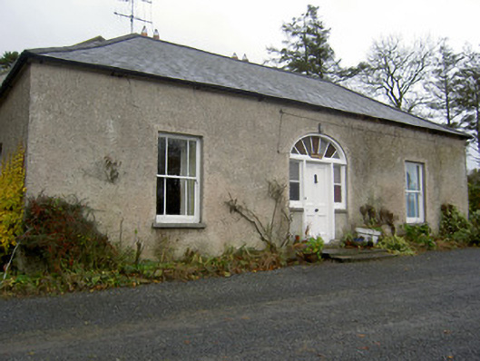 Hermitagehouse · 1327 yd
 Doneraile Courtornamental canal/lake · 1753 yd
 European YewEuropean Yew · 1.2 mi
 Doneraile HouseHeritage attraction · 1.2 mi
 Doneraile Castle (Site of)Castle, unclassified · 1.5 mi
 Smith's WellSpring · 1.9 mi
 CastleCastle, unclassified · 2.6 mi
 In loving memory of Elvis O'DonoghueMemorial · 5.5 mi