What is recorded here
Identified in centre-line testing (E4110) in advance of the M11 Gorey to Enniscorthy road scheme and set aside for resolution as Ballycarrigeen Lower 2 (Hardy et al. 2010, 58). It is situated in a slight col between a rising incline to the SE and a slight rise c. 460m to the W. It was completely excavated (E4232) by M. McNamara who uncovered a layer of burnt stone material (dims c. 8.4m x c. 5.3m; T 0.3m), but no trough was recorded in the excavated area. Fulacht fia (WX011-072----) is c. 55m to the ESE and fulacht fia (WX011-073----) is c. 105m to the S. (McNamara 2012; 2013)
Compiled by: Michael Moore
Date of uplaod: 26 November, 2013
Burnt mound in Ballycarrigeen Lower is a Neolithic ritual or industrial site, dating to approximately 4000–2500 BCE. Its significance lies in providing evidence of early land use, heat-related activities, and possible ceremonial practices in the region.
The monument record does not grant public access. Check the route and ask the landowner before entering private land.
- What survives
- Recorded monument
Places near here
 Fulacht fia in Ballycarrigeen LowerFulacht fia · 114 yd
 Fulacht fia in CarrigeenFulacht fia · 1110 yd
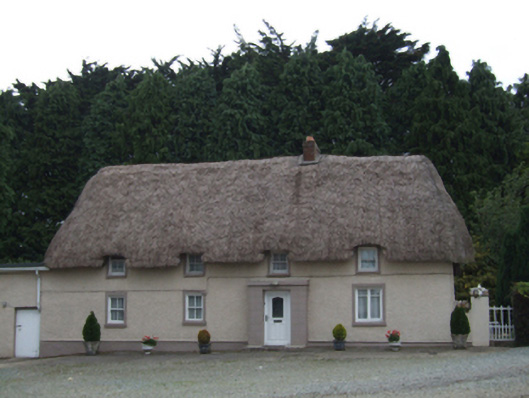 farm housefarm house · 1282 yd
 KilnKiln, corn-drying · 1.3 mi
 The GroveWood · 1.5 mi
 The CoilWood · 1.6 mi
 IndicatedCastle, ringwork · 1.8 mi
 Father Murphy CentreHeritage attraction · 2.1 mi
 Giants BedNamed rock · 2.4 mi
 Ferns Castle (in ruins)Castle, Anglo-Norman masonry castle · 2.7 mi
 Carrigroe HillMountain / peak · 2.9 mi
 Milshoge RockMountain / peak · 3.4 mi