What is recorded here
This is the record for the burnt spread excavated by Yvonne Whitty (E3246) on the N11 road improvement scheme. No trough was associated with the spread of burnt material but a pit had been cut into its upper layers. Two radiocarbon dates from the burnt material dated the feature to the early bronze Age. (Whitty 2009n)
Compiled by: Denis Power
Date of upload: 22 January 2013
Burnt mound, likely dating to the Neolithic or early Bronze Age. It represents a ritual or industrial site, possibly used for heat-related activities such as cooking, hide processing, or ceremonial purposes.
The monument record does not grant public access. Check the route and ask the landowner before entering private land.
- What survives
- Recorded monument
Places near here
 IndicatedFairy fort / earthen ringfort · 683 yd
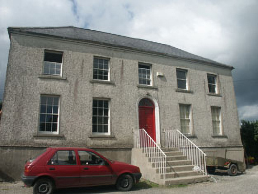 Woodville Househouse · 1282 yd
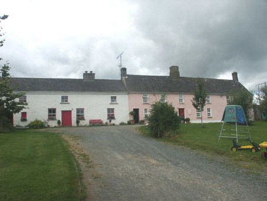 Ballymurrin Househouse · 1285 yd
 Enclosure in Kilnamanagh BegEnclosure · 1474 yd
 Japanese cedarJapanese cedar · 1718 yd
 Silver FirSilver Fir · 1.0 mi
 Carrick MountainMountain / peak · 3.8 mi
 Furzeditch BeachBeach / strand · 4.0 mi
 BallinastrawMountain / peak · 4.1 mi
 Castle in ruinsCastle, tower house · 4.2 mi
 Magheramore BeachBeach / strand · 4.3 mi
 Viewing TowerHeritage attraction · 4.4 mi