What is recorded here
This is the record for the excavation of a burnt mound by Goorik Dehaene (E3261) on the N11 road improvement scheme. The site measured 20m by 20m. A burnt spread (5.6m by 5.2m) and an oval pit (5m north–south by 1.5m by 0.34m) were excavated. The burnt spread extended westwards beyond the limit of the excavation. (Dehaene 2009x)
Compiled by: Denis Power
Date of upload: 17 January 2013
Burnt mound, likely dating to the Neolithic or Bronze Age. Such features are commonly associated with ritual or domestic activities involving heat, such as cooking or ceremonial practices.
The monument record does not grant public access. Check the route and ask the landowner before entering private land.
- What survives
- Recorded monument
Places near here
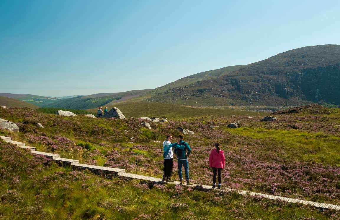 Enclosure in BallygonnellEnclosure · 1057 yd
 Enclosure in CoolbegEnclosure · 1129 yd
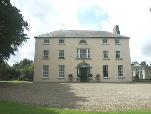 Ballymoney Housecountry house · 1.7 mi
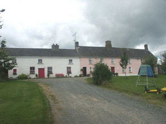 Ballymurrin Househouse · 1.9 mi
 CastleCastle, unclassified · 2.4 mi
 Round MountCastle, motte · 2.6 mi
 Sweet ChestnutSweet Chestnut · 3.0 mi
 Lawson's CypressLawson's Cypress · 3.0 mi
 Carrick MountainMountain / peak · 3.3 mi
 Glen Beach Cliff WalkWalking route · 3.5 mi
 Kilpoole BeachBeach / strand · 3.5 mi
 Silver StrandBeach / strand · 3.6 mi